

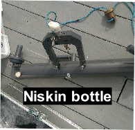
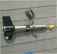
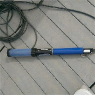
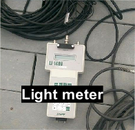
The site of this investigation was the King Harry Ferry pontoon, located at approximately 50° 12’ 57.89’’N, 005° 1’ 39.67’’W, next to the King Harry chain ferry service. Over a 2.5 hour period, a time series was constructed to examine a number of physical, chemical and biological parameters within the Fal estuary using four pieces of equipment in order to show how changes in the state of the tide affects various factors at this fixed position in the estuary.
The study of the chemical, physical and biological parameters in the Fal estuary
(measured from King Harry’s Ferry pontoon) were limited in a number of ways. An issue
that effected all measurements, was that during the first survey at 08:30 UTC, the
harbour master told pulled into the pontoon and told us to relocate the equipment
to the inside of the pontoon; all measurements were liable to compromise. Following
the relocation, the irradiance probe became limited in its ability to sample as the
current pushed it underneath the pontoon and became entangled by seaweed; the probe
was relocated for a second time to the end of the pontoon. Measures of salinity recorded
using the EXO probe were much higher than they should have been and required calibration,
the probe was also unable to measure turbidity (TDS). The flow meter consistently
recorded low rates of flow and there was little difference between the collected
measures. This was as the water within the estuary was relatively well-
Click below on each of the images for further information and data gathered at this site.

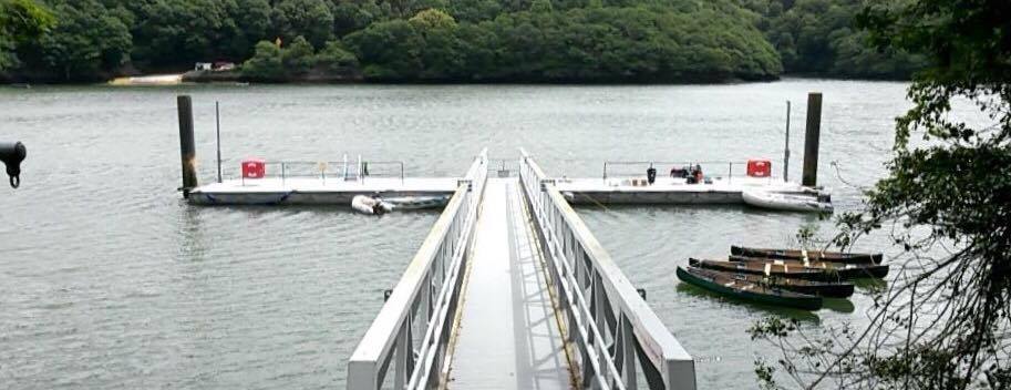
PONTOON
21/06/16
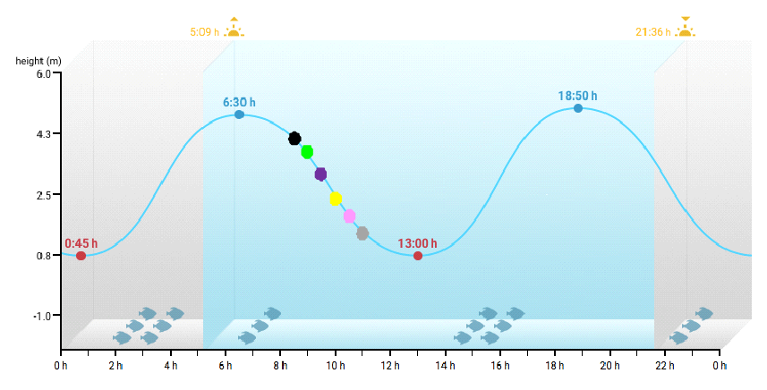
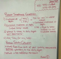
Sample times (UTC)
0830: Black
0900: Green
0930: Purple
1000: Yellow
1030: Pink
1100: Grey
Figure 1. The times at which a fixed position within the Fal estuary (King Harry’s Ferry Pontoon) was sampled, shown on a tidal chart. As sampling progressed, the water within the estuary began to approach low tide.

The views and opinions expressed on this website are those of individuals within group 8 and are not associated with The National Oceanography Centre, University of Southampton or Falmouth Marine School.