

GEOLAB
25/06/16
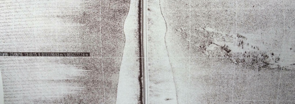
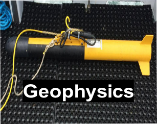
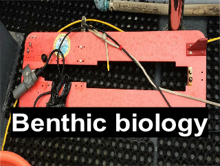
A geophysical survey was conducted on the 25th June 2016, aboard the MTS Valonia, in order to map the benthic habitat of the Fal estuary, using both a subsurface dual frequency side scan sonar and a high resolution underwater video camera system.
The regions of monitoring in question were within a designated Special Area of Conservation (SAC). The Fal and Helford SAC consists of a variety of bedforms and habitats including sea inlets, mudflats, salt marshes, shingle beaches and salt steppers (JNCC, 2016). The side scan sonar was used acoustic techniques to produce a benthic habitat map, whilst the use of an underwater video camera enabled the local biodiversity and bedforms to be examined by eye; video techniques also facilitated the identification of marine species captured on footage.
This study aimed to map the benthic habitat along multiple (predetermined) transects
within the Fal estuary in order to examine how both the bedforms and organisms associated
with them changed. A sidescan sonar was deployed first with the aim of collecting
bathymetry data whilst the use of a video camera was required to ground-
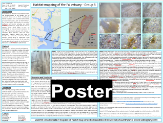
Click below on each of the images for further information and data gathered at this site.
The views and opinions expressed on this website are those of individuals within group 8 and are not associated with The National Oceanography Centre, University of Southampton or Falmouth Marine School.