
FALMOUTH
SUMMER 2016
FALMOUTH
SUMMER 2016
FALMOUTH
SUMMER 2016
FALMOUTH
SUMMER 2016
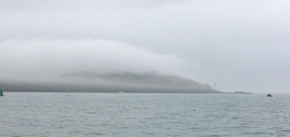
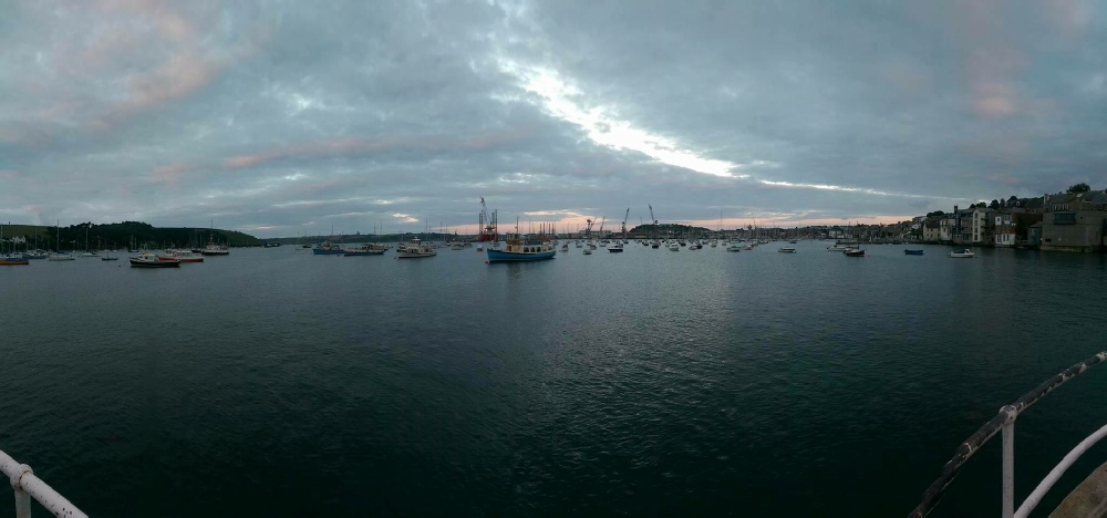
The Fal estuary is well known for its status as the third largest harbour in the world (Cornwall Rivers Project, 2006).
The ria, formed in response to Holocene sea-
The presence of these maerl beds, consisting of the species Aiptasia mutabilis and Lithothamnium corallioide, provide a unique and rare habitat, in terms of the English coast, for a number of important species resulting in them being declared as a Biodiveristy Action Plan species (BAP) (Farnham and Bishop, 1985; Seasearch, 2012). In fact, an extensive portion of the estuary is classified as a protected European Marine Site (EMS) under the habitat directive as a Special Area of Conservation [Natural England, 2004].
Click on the map to the right for a larger resolution
Aims
The aims of the investigation presented here are to analyse the physical samples and patterns observed in Falmouth water, on both spatial and temporal scales, acroos various environments in the area with respect to the meteorological and tidal influences on the estuary and offshore. An overview of the different areas studied and the focus of said studies are outlined below:
- Pontoon-
A time series carried out at King Harry Ferry pontoon with meauremnets/recordings of light irradiance, flow, temperature, salinity and chlorophyll (analysed back in the lab) at half an hour intervals to map the temporal variability of the parameters over a 2.5hour period at a singular location. - Estuary-
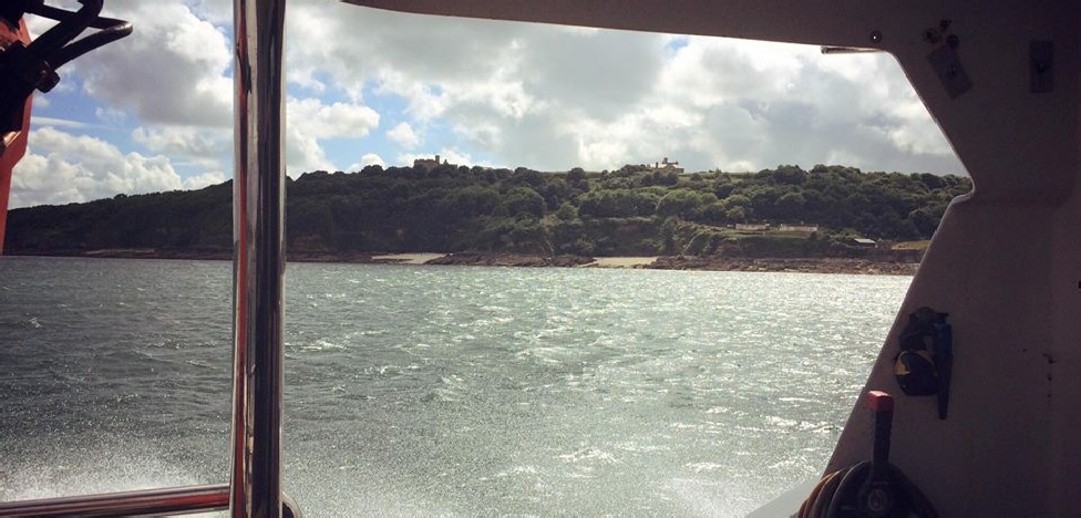
A spatial investigation on board R.V Bill Conway, both horizontally and vertically, over 7 sites (A- G) from the upper to the lower Fal estuary. The desired parameters measured consist of chlorophyll, dissolved oxygen, silicate, phosphate, zooplankton abundance, temperature and salinity, and light irradiance using a secchi disk. - Geolab-
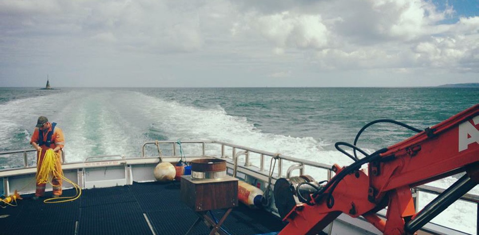
a survey carried out aboard MTS Valonia to habitat map the benthic environment using a side scan survey and identify a number of species using a video camera deployed off the boat. - Offshore -
A spatial investigation on board R.V Callista, both horizontally and vertically, over 3 sites (55- 58) from offshore Falmouth The desired parameters measured consist of chlorophyll, dissolved oxygen, silicate, phosphate, zooplankton abundance, temperature and salinity, and light irradiance using a secchi disk.
References:
Cornwall Guide (2015). “The River Fal”. Webpage. Available online: http://www.cornwalls.co.uk/Falmouth/fal_river/htm. [Accessed 24/06/16].
Cornwall Rivers Project (2006). “Geography, Fal and Tresillian”. Webpage. Available online: http://www.cornwallriversproject.org.uk/geography/fal.htm [Accessed 24/06/16].
Farnham, W.F and Bishop, G.M (1985) ‘Survey of the Fal estuary, Cornwall’, Progress
in Underwater science, 10, pp.53-
Hughes, S. (1999). “The geochemical and mineralogical record of the impact of historical
mining within estuarine sediments from the upper reaches of the Fal estuary, Cornwall
UK.”. Fluvial sedimentology. Published by The International Association of Sedimentologists.
28: 161-
Irving, R.A. (1996) “The sea bed”, in Barne, J.H., Robson, C F., Kaznowska, S.S.,
Doody, J.P., Davidson, N.C., and Buck, A.L. (Eds.) Coasts and seas of the United
Kingdom, Region 11 The Western Approaches: Falmouth Bay to Kenfig. Peterborough:
Joint Nature Conservation Committee, pp 68-
Natural England (2004) Fal and Helford SAC Management Scheme. Report pp 1-
Pirrie, D., Power, M., Rollinson, G., Camm, S., Hughes, S., Butcher, A. and Hughes, P. (2003). “The spatial distribution and source of arsenic, copper, tin and zinc within the surface sediments the Fal Estuary, Cornwall UK”. Sedimentology. 50: 580.
Seasearch (2012) Maerl in Cornwall, 2012 survey report. Availible online: http://www.seasearch.org.uk/downloads/Cornwall%20maerl%202012%20web.pdf.
Pp:-
Stapleton, C. and Pethick, J. (1996). “The Fal estuary: Coastal Processes and Conservation”. Report: Institute of Estuarine and Coastal studies. University of Hull, England nature, Peterborough, UK.
Meet the team
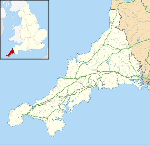
Figure 1. A map showing the west coast of Cornwall, England UK, and the location of Falmouth as highlighted by the arrow and circle. Image courtesy of Wikipedia. Available from: https://en.m.wikipedia.org/wiki/Falmouth,_Cornwall [Accessed 01/07/16].
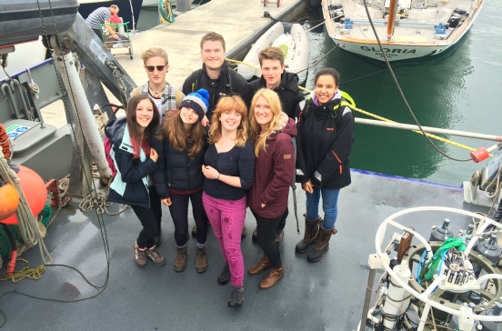
Clockwise from left: George Kelly MSci Marine Biology (gk3g14@soton.ac.uk ), Tom Hanner MSci Marine Biology (th11g14@soton.ac.uk), Ben Harding BSc Oceanography (bh8g14@soton.ac.uk), Jasmine Gothard MSci Marine Biology (jmg2g14@soton.ac.uk), Hattie Woods MSci Marine Biology (hsw1g14@soton.ac.uk) Gracie Madders MSci Marine Biology (gm1g14@soton.ac.uk), Charlotte Johns MSci Marine Biology (caj1g14@soton.ac.uk ), and Charlotte Ely MSci Marine Biology (ce2g14@soton.ac.uk)
The views and opinions expressed on this website are those of individuals within group 8 and are not associated with The National Oceanography Centre, University of Southampton or Falmouth Marine School.