


Aims:
Investigate benthic habitat changes in Falmouth Bay.
Objectives:
Use side scan sonar to determine the sediment type and structure within Falmouth Bay.
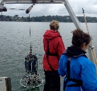
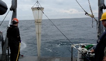
Use video and Van Veen grabs to provide ground truthing and aid further understanding of the benthos in this area.
Introduction
After many years of dead maerl extraction, Falmouth Estuary has been designated as
a Special Area of Conservation (SAC) (boundary spanning from St. Anthony’s head to
the Manacles -
Results
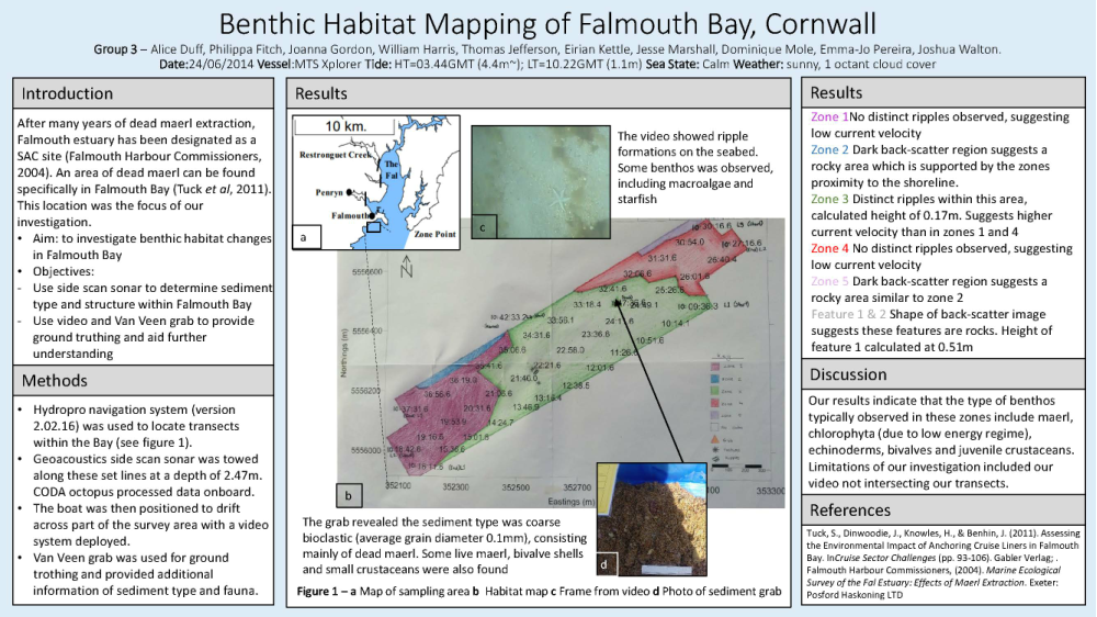
The habitat map (See Poster) shows the variations in the benthic environments within the survey area. Five zones were distinguished. No distinct ripples were observed in zones 1 and 4. Zone 2 and 5 were regions of dark back scatter, representing rocky areas. Clear ripples were observed in zone 3. The height of these ripples were calculated from the side scan images as an average of 0.17m. Two features were seen within the survey area, interpreted as rocks. The height of feature 1 was calculated as 0.51m. The video results supported the ripple formations interpreted from the side scan. The footage also enable documentation of some benthos inhabiting the survey area.
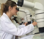
Identification to species level was not possible due to the resolution of the video although organisms observed included chlorophyta and echinoderms (star fish). The sediment from the grab sample revealed the sediment type consisted mainly of dead maerl. This bioclastic sediment also included some live maerl, bivalve shells (one identified as a Blunt Gaper shell) and juvenile crustaceans (identified as Common Hermit Crab).
Discussion
The lack of distinct ripples in zones 1 and 4 suggest low current velocity regimes. This is supported by the location of the area within the sheltered bay. The ripples within zone 3 suggest a higher current velocity. This may impact the benthos inhabiting this area. Video evidence would have been useful to support this which was unobtainable at the time. The interpretation of zones 2 and 4 as rocky areas is supported their location relative to the shoreline as rocks were visible from the boat. The results suggest the survey area consisted of bioclastic sediment, dominated by macrophyte material. The organisms found within the survey area (observed on video and in grab) are typical inhabitants of maerl beds (Kamenos et al., 2004). The presence of live maerl within the single grab sample could indicate that the designation of this area as a SAC zone could be positively impacting the benthos.
Limitations of our investigation included issues and inconsistencies with timing
on the equipment on-
Another limitation was circumstantial; due to the proximity to the shore (ebbing tide and swimmers) the fourth transect was adjusted and then aborted.
These findings are summarised in the poster below. Please click to enlarge.
Methods
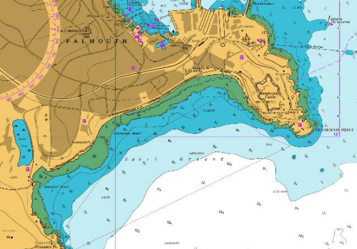
The survey was completed on the 24th June 2014 in Falmouth Bay (see Figure 1 above)
on the MTS Xplorer. Sea state was calm and the weather conditions were sunny with
1 okta cloud cover. High tide was at 02:44UTC (4.4m) and low tide 09:22UTC (1.1m).
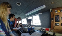
Hydropro navigation system (version 2.02.16) was used to locate and navigate the
transects. A geoacoustics dual frequency side scan sonar tow-
arge range of our sample area. Further ground truthing was provided by sampling the sediment using a Van Veen grab at 352834.5 Eastings, 5556479.0 Northings.
Data processing was completed using Surfer 8. This programme was used to plot the transect lines and the side scan image was overlaid after scaling.
| Geophysics |
| References |
| Introduction |
| Physical |
| Chemical |
| Biological |
| References |
| Introduction |
| Results |
| References |
| Introduction |
| Physical |
| Chemical |
| Biological |
| References |