


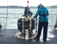
The initial intention for this data collection trip was to travel offshore on Callista and sample at different distances from the mouth of the estuary to observe changes in stratification. However, adverse weather conditions made this unsuitable, restricting us to a more sheltered area within the Fal estuary instead. Time series data was collected within Carrick Roads. Physical, chemical and biological data was obtained using the Sea-bird SBE19+ CTD and the RDI Workhorse 600Kilohertz ADCP. Wind speed and direction, location and time were recorded at each station.
The methods used on Callista for the time series data were almost identical to those used on Conway in the estuary. Please click here to see this.
Physical
Temperature and salinity depth profiles obtained from CTD data.
Chemical
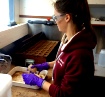
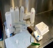
Collection of water samples to test levels of nitrate, phosphate and silicon.
Biological
Zooplankton, phytoplankton and fluorescence taken from sampling and trawl.
Metadata
Date: 29/06/16
Time: 7:40 - 3:30 UTC
Location: Carrick Roads, Fal Estuary
Weather: Wind 20 knots, 8/8 octants cloud, rain
Water Depth: 28.7m - 30.9m
Tide: High water 12:09 UTC (4.4m); Low water 06:06 UTC and 18:37 UTC (1.2-1.3m)
Air temperature: 15º C
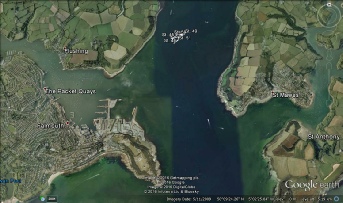
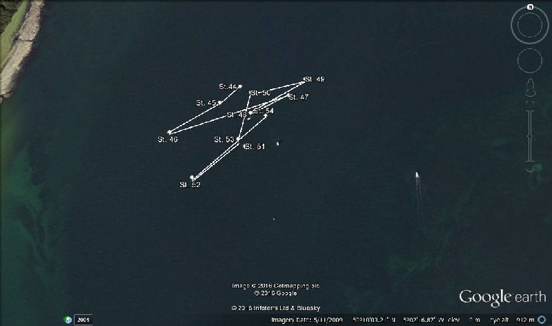


Figure 25. Google map images with the path of Callista during the time series of data collection.
| Physics |
| Chemistry |
| Biology |
| Niskin |
| Flow meter |
| Light meter |
| Exosonde |
| Discussion |
| Physics |
| Chemistry |
| Biology |