The views and opinions expressed in this website are not necessarily those expressed by the National Oceanography Centre or the University of Southampton. The opinions and views expressed are those of the authors of the website

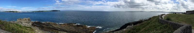
The aim of this survey was to provide a habitat map of the area between Pendennis Head and Swanpool Bay, with a focus on the fauna and flora as well as the substrate type. To map the area, a Towfish, with sidescan sonar technology was used. The initial transect’s coordinates are as following:
START: E181983.9m; N31650.546m
END: E180672.876m; N30973.244m
To produce a detailed image of the sea floor, side scan technology was utilized. Three survey transects, each parallel to each other and approximately 100m apart, were studied. Due to a technical failure a fourth transect could not be completed. To produce the sea floor image, a side scan sonar was deployed into the water at 1m depth and towed by the tow fish. Through the use of 100kHz and a 410kHz frequency, a detailed image of the seabed 75m on either side of the vessel was produced.
There were seven main boundary layers identified on the paper trace generated from the sidescan sonar. The area surveyed was mainly sand with a scattering of rocks.
Boundary layer 1: The backscatter was the most reflective out of all the boundary layers found on the track plots. The dark backscatter suggests a presence of rock. There is a difference in reflectivity on the object suggesting there could be a presence of macro algae or some other biology.
Boundary layer 2: Reflective backscatter suggesting the presence of rock lying on the substrate due to the orientation of the shadow relative to the Towfish.
Boundary layer 3: Backscatter is very similar to that seen in boundary layer 2 proposing a comparable composition.
Boundary layer 4: Just like the previous boundary the backscatter at this boundary layer shows high reflectivity, signifying the existence of a hard object lying on the substrate.
Boundary layer 5: Reflectivity of the backscatter shows an area of larger scale dunes compared to the majority of the area, which is shown in boundary layer 7.
Boundary layer 6: The backscatter at boundary layer 6 is lighter compared to the others is shown. The lighter backscatter shows a scour mark in the seabed.
Boundary layer 7: Indicates a large area of sandy sediment with small scale symmetrical ripple marks indicating low persistent flow.
The boundary layers identified in the sidescan paper trace can be seen in the habitat map (figure 2.0)
Introduction to Geophysics
Methodology
Key Findings


Figure 2.0 Habitat map of the area between Pendennis Head and Swanpool Bay