The views and opinions expressed in this website are not necessarily those expressed by the National Oceanography Centre or the University of Southampton. The opinions and views expressed are those of the authors of the website

Key Findings
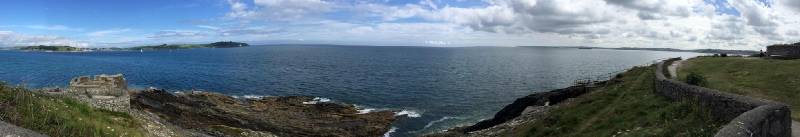
A benthic habitat map between Pendennis head and Swanpool bay was created using the data gathered from our survey on the 21st June 2016.
The area was mainly homogenous soft sediment with a scattering of rocks. As well as this, between the second and the third boat tract there was an extensive area of coarser sediment, with clearly defined bedforms. The crests were clear of debris, and there was accumulation of biota as well as shell debris in the troughs of the bedforms.
Met data & Tidal State
Date: 21.06.16
Time Range. 14:00 BST -
Co-
Air Temperature: 15°c
Cloud Cover: 7/8
High Tide:07:18 BST
19:31 BST
Low Tide: 01:27 BST
13:44 BST
Introduction to Geophysics
In order to create a fully detailed habitat map of the area between Pendennis head
and Swanpool bay, a series of both physical and biological data collection techniques
were carried out on 22/06/16. For analysing the physical properties of the area,
a Towfish capable of side-
For analysing the biology of the area, an underwater camera was deployed to quantitatively
sample and enable species identification of the benthic macro-
- Find an area in the Fal Estuary to sample
- Create a sidescan sonar of seabed in sample area
- Take video transects and grab for sample sight along sidescan sonar transect
- Create a contour plot on surfer for habitat map
- Create a habitat map using sidescan sonar data
- Identify species in sample area from video transect and grab images
Aims and Objectives
On the left is a summary poster of the finding of the geophysical lab analysis completed on the data collected whilst on MTS Explorer, if you would like to view, or download the poster please click on the image.
