The views and opinions expressed in this website are not necessarily those expressed by the National Oceanography Centre or the University of Southampton. The opinions and views expressed are those of the authors of the website

The Fal Estuary
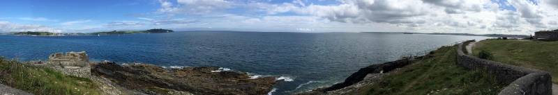
The Fal estuary is a classic Ria, also known as a drowned river valley, in Cornwall, England and is the third largest natural harbour in the world (Dyer, 1997). It is tidally dominated, with 6 tributaries, 28 minor creeks and rivers which all flow in to Carrick Roads, an area which extends four miles from Black Rock to Turnaware Point
The estuary is classified as a Special Area of Conservation under the Fal and Helford Marine Special Area of Conservation Management Scheme because it contains a number of interesting features such as saltmarshes, intertidal mudflats, and subtidal sandbanks. There are a number of delicate species including maerl and seagrass which are important for the local fauna, such commercially important fish species that use seagrass meadows as a nursery ground (JNCC, 2016)
It also plays host to a number of industrial and recreational activities. Since the 14th century Penryn has dealt in tin, granite and coal, and the estuary still plays host to shipping industries such as marine engineering, cargo shipping as well as oyster fishing. (www.cornwall.co (2016); Orton, 1927).
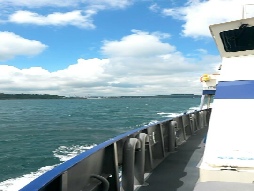
Recreational activities also take place in the estuary, such as docking points for international cruise liners and local ferry trips, which contribute to the activity of the port.
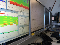
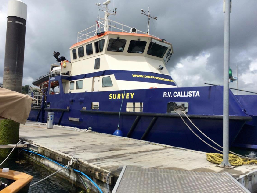
Through various activities such as benthic surveys and water analysis, we aim to provide a more complete understanding of the chemical, biological and physical aspects of the Fal estuary and the surrounding marine areas. Our analysis was conducted from 20th June to 2nd July.
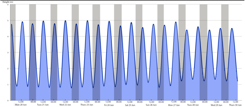
Fig. 1.0 Tidal chart for Falmouth Harbour from 20/06/16 to 30/06/16.
References
Cornwall.co.uk. (2016). Cornwall Resources and Information. [online] Available at: http://www.cornwall.co.uk/Falmouth/fal_river.htm [Accessed 28 Jun. 2016].
Dyer, K. (1997). Estuaries. 2nd ed. London: John Wiley.
Jncc.defra.gov.uk. (2016). MCZ Maerl Beds. [online] Available at: http://jncc.defra.gov.uk/page-
Langston, W. (2003). Fal and Helford cSAC. Plymouth, Devon: Marine Biological Association of the U.K.
Orton, J. (1927). Observations on the Fal Estuary Oyster Beds during 1926, including
a study in Over-