
Any opinions expressed on this website do not reflect the opinions of the University of Southampton or the National Oceanography Centre
The King Harry pontoon is located towards the upper end of the Fal Estuary, ~8km from the entrance, as shown in figure 4.0.1.
It is an ideal location for observing different tidal properties of the estuary during a set time period with fixed time intervals.
Its static position allowed collection of eulerian measurements which can be contrasted with lagrangian data collected on the same day from the Bill Conway.
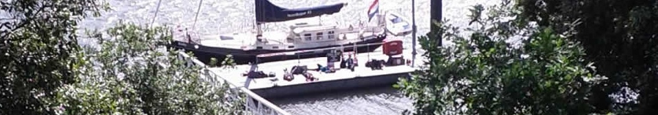

Pontoon

Figure 4.0.1 -
Using an YSI multiprobe, filters with a syringe and a flow meter we recorded density, salinity, temperature, pH, Oxygen % Saturation, chlorophyll concentration, flow speed and flow direction.
Readings were recorded every 30 minutes starting from 08:30 UTC and finishing at 15:00 UTC.
The YSI multiprobe was lowered to every metre, however due to low water being at 11:47 UTC the depth became too shallow and so readings were taken every 0.5m up to 1.5m. After high water the tide started to flood and therefore the depth started to increase again which allowed measuring of 1m intervals.
50mL of sea water was syringed from the surface, firstly washing the syringe and secondly passing through the filter, to allow calculation of chlorophyll. The filters were placed in acetone for later lab examination.
The flow was measured using a flow meter which was lowered from the western edge of the pontoon and dropped to regular intervals. The readings refreshed every 10 seconds and this was signalled by a beep and a change in values. The meter was therefore left at the depth for more than 10 seconds to ensure the reading was updated. The depths were measured using metre marks on the cable.