
Any opinions expressed on this website do not reflect the opinions of the University of Southampton or the National Oceanography Centre
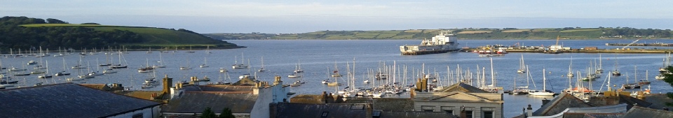

Falmouth 2014
The Falmouth field course is a 12 day scientific survey completed by 2nd year marine biologists and oceanographers from the University of Southampton. The aim of the trip was to look at the physical, chemical and biological processes occurring within the Fal estuary and the surrounding open water body.
Data was collected during offshore, estuary and geophysics boat trips as well as stationary sampling from the King Harry pontoon and was collated to produce graphical representation and this website, which contains the initial findings of the trip. An overview of some of the stations sampled and their locations with respect to one another is shown below, in figure 1.0.1.
Background
Falmouth, Cornwall is home to the Fal Estuary; a drowned river system, protected
under European Union Law as a Special Area of Conservation (SAC) since 2006, primarily
due to the benthic environment. It comprises both Maerl beds and Zostera meadows,
which are both ecologically and socio-
Drowned rivers (Rias) are caused by falls in coastal level and/or a rise in sea level-


The Team
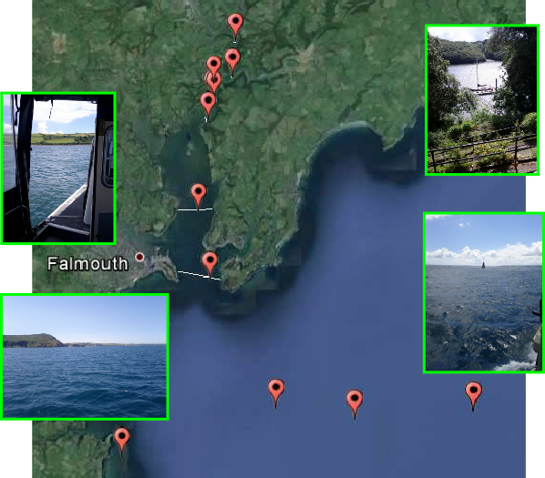


Figure 1.0.1