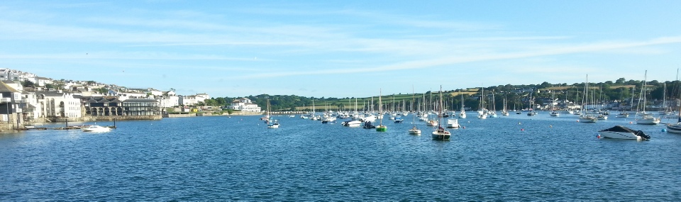
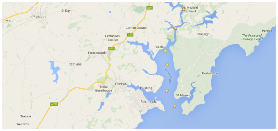
The Fal estuary is tidally influenced and controlled by biological, chemical and
physical processes. To test this six stations where measured with 2 stations measured
twice creating a time series over an hour. Stations were situated between Black Rock,
in Carrick Roads and up to the village of St Michael Penkivel, the most accessible
point inland. By choosing sites along the estuary it allowed for assessing of the
effects of river inputs into the estuary.
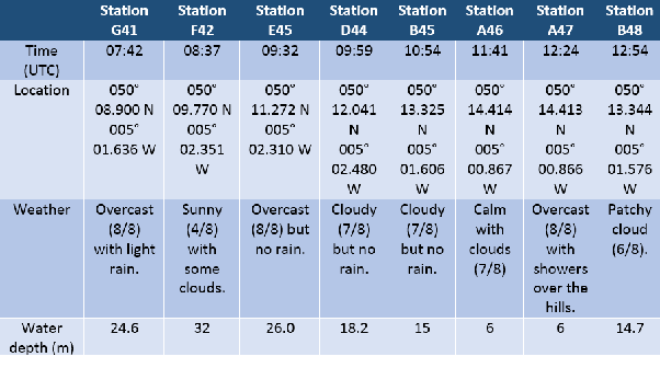
At each site temperature, salinity, fluorescence and transmission readings and water
samples for nutrient values were taken, using a CTD rosette. These water samples
were then used to measure nitrate, phosphate, silicate, dissolved oxygen and observe
phytoplankton. Plankton net trawls were carried out to assess the zooplankton living
in the areas sampled. An ADCP was used to monitor the flow at each station. ADCP
transects where taken at each site with plankton nets being taken at selected sites
(Sites G41, D44 & B48)