
The views and opinions expressed are solely those of the contributors, and do not necessarily reflect those of the University of Southampton or the National Oceanography Centre Southampton.
Falmouth 2015 - Group 7

BACKGROUND
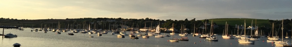
The Fal estuary is the world's third largest natural harbour and stretches 18km inland from its mouth at Pendennis Point/St Anthony Head to its tidal limit, found at Tressilian. The Fal estuary is a drowned river valley, formed when rising sea levels flood pre-existing river valleys(1). The primary aim of this website is to report the initial findings of Group 7 from the University of Southampton Falmouth field course in surveying various physical, chemical and biological aspects of the Fal, it's tributaries and the surrounding open ocean. The vessels R.V. Callista, R.V. Bill Conway and MTS Xplorer were used in conjunction with various research methods to achieve this aim.
The Fal has a history of pollution, making it an interesting subject for research over time: one of the most severe pollution events occurred in 1992, with the Wheal Jane Incident. The Wheal Jane Mine was a collection of metalliferous mines located up one of the Fal's tributaries. It was known for having a very high rate of acidic discharge containing large amounts of metals (e.g. Fe, Cu). Closure of the dam and removal of its de-watering pumps resulted in flooding and release of around 50 million litres of acidic water (pH ~3.1)(2) and metals (~5000mg/L) into the Fal(3). One of the most obvious consequences of this event was a huge plume of Iron Hydroxides, turning large portions of the estuary orange. Since then numerous papers have been published looking at different factors in the area and how they may have changed.
About group 7

The area around Falmouth is also interesting due to the high concentration of important species and habitats found such as Maerl Beds, a type of hard red algae that grow at a slow rate and require very specific conditions. This, combined with the findings of Langston et al.(4) - which showed that numerous habitats in the Fal estuary were at risk from both toxic (e.g. heavy metals) and non-toxic (e.g. nutrient enrichment) contamination - resulted in the area being named a Special Area of Conservation (SAC) in 2006. The SAC begins just inside Falmouth Bay and runs up both the Fal Estuary and the Helford River, its management scheme has the aim of "maintaining the features of the site ...whilst enabling its continued and diverse human use"(5).
Photograph 0a - examining a chart, taken by Nana
| Background |
| The Group |
| Methodology |
| Physical |
| Biological |
| Chemical |
| Methodology |
| Physical |
| Biological |
| Chemical |
| Methodolgy |
| Results |