Date: 23/06/15
Location: King Harry Pontoon, 50º 12’ 58’’ N 005º 01’ 59.5’’ W
Time: 12:00 - 15:00 UTC
Weather: 6/8 cloud cover at start, 4/8 cloud cover at end, wind speed increased
Tide: Ebb tide, low tide at 15:50 UTC
- Cum sociis natoque
- Aliquam vel quam
- Vivamus justo est
- Donec sit amet
Introduction:
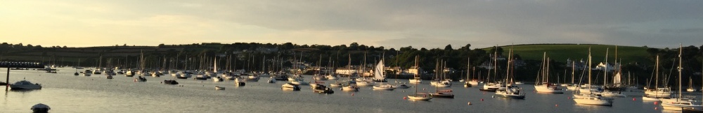
The King Harry Pontoon, located in the Fal River Estuary (50º 12’ 58’’ N 005º 01’
59.5’’ W), was used by Group 7 for sampling of various parameters over a 3 hour period.
Members of the group recorded measurements of current speed and direction using a
current meter, collected chlorophyll samples at the surface through filtration, collected
data using a sondemeter and measured light using a light sensor every half an hour
for the duration of the sampling time. This provided means to produce time series
and depth profiles of the recorded parameters.
- Vestibulum velit orci
- Nullam sed enim
- Duis ac lorem
- Lorem ipsum dolor sit amet