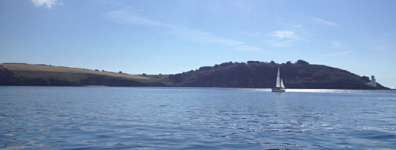

Located in South West England, the Fal is Cornwall’s largest estuary, and thus holds significant scientific and economic importance. The estuary is a classic example of a ria, which explains the sinuous shape of the area (Pye & Blott, 2014).
The geography and hydrology of the Fal has created a large natural harbour, enabling access for vessels from Falmouth to Truro. This characterises the town of Falmouth as a hub for maritime activity and tourism. The estuary extends from the river Fal in Truro through Carrick roads waterway, before it reaches the sea between St. Anthony and Pendennis head.
Introduction to Falmouth’s coast and the Fal Estuary
A larger area of the site has recently been designated a marine Special Area of Conservation (SAC), in order to prevent the deterioration of the ecological quality and habitats within the region, despite the high level of human activity that the estuary accommodates (Langston et al., 2003).
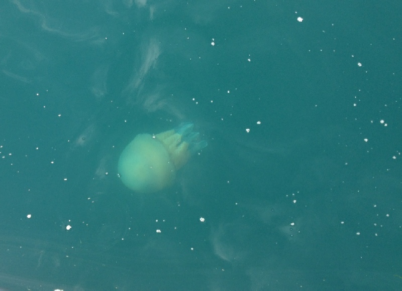
The total area of the estuary comprises of 17.36 km2 of subtidal ecosystems, 6.53 km2 of intertidal mudflats and 0.93km2 of saltmarshes. Subtidal sandbanks provide an ideal habitat for many species, including protected maerl beds such as those found on St. Mawes bank (Newton, 2011). These beds offer a sheltered environment, used as nursery grounds for many fish and shellfish species.
Click images to enlarge
| Chemical |
| Biological |
| Physical |
| Biochemical |
| Physical |