Disclaimer: These findings are the personal interpretation of the students involved and do not reflect the views of the University of Southampton, the National Oceanography Centre or Falmouth Marine School.
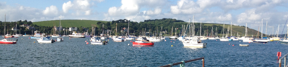
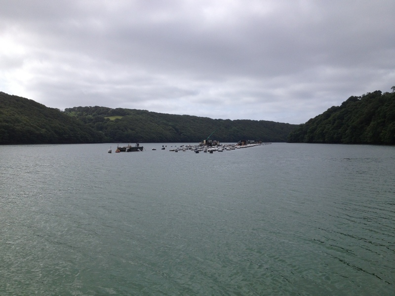
The Fal river estuary is located on the south coast of west Cornwall and is an important location for commercial and recreational activities alongside its well renowned oyster and mussel shellfish fisheries (Cornwall Rivers Project, 2006). Subsequently, the local environment is under considerable stress from a wide variety of factors such as recreational mooring, sewage discharge, port development, and marine and agricultural pollution (Langton et al., 2003).
The river is 29km in length and the estuary is classified as a drowned river system (ria) with a typically low freshwater influence. It is also the third largest natural harbour in the world (Cornwall Rivers Project, 2006). The estuary may be divided into two main sections: the lower estuary (Carrick Roads) is broad and uniform and makes up of 80% of the estuary, whilst the upper estuary is a meandering river system fed by multiple tributaries. The upper boundary of saltwater/tidal influence is located in Truro where the Rivers Kenwyn and Allen converge, an area which has been classified as an Area of Outstanding Natural Beauty.
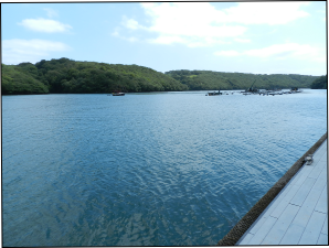
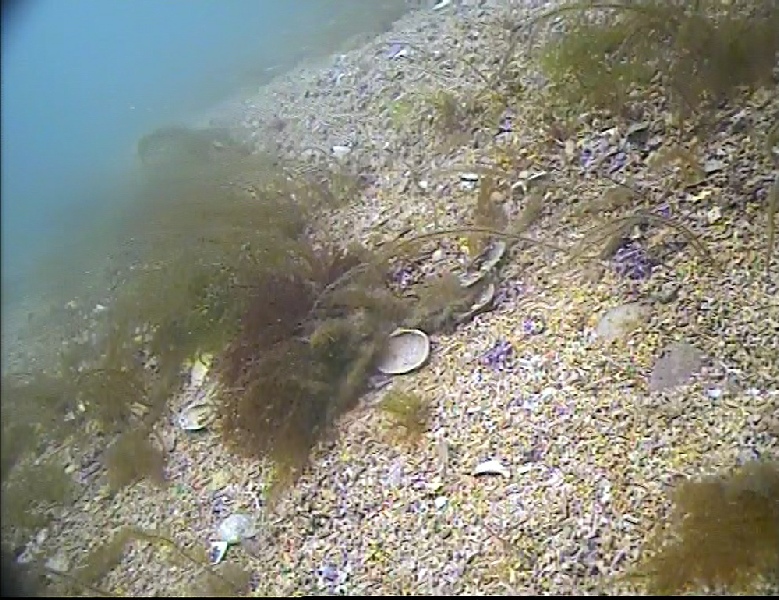
We have come to Falmouth with our ultimate aim of being able to understand more about the nature of the Falmouth Estuary and the surrounding rivers and sea. During our investigations we have explored the nature of nutrients from the head of the estuary, which is dominated by river inputs, down to the mouth of the estuary. This was to show the type of estuary we were exploring and the processes that occur within it. We then explored the habitat surrounding Swanpool Beach which is located just outside the harbour. The purpose of this particular exploration was to identify the various benthic zonations by using a towfish and sonar to map the seabed. Seabed mapping is important to locate different habitats and to investigate how they thrive within an area which is susceptible to pollutant inputs from the river. We then used a camera to get a clearer image of what was living along the sea floor.
Throughout our investigations, we have also monitored tidal currents to get an example of the tidal flow and the time series throughout the estuary, as this will help to indicate the type of estuary present and how mixed the estuary is. Our final investigation was aboard the Callista survey vessel offshore. This was to collect information which could help us to see how vertical mixing processes, directly and indirectly, affect the structure of plankton communities, throughout the water column, as well as how they function.
The catchment area bedrock is dominated by Cranmellis granite (as well as Devionian meta-sediments and igneous ophiolites) (CEFAS, 2012) and the influence of historical mining may be observed on the estuary due to the catchment of the Carnon River which encompasses an area dominated by the mining of metals such as copper, tin and arsenic. This river enters Carrick Roads via Restronguet Creek, and although mining at Wheal Jane in the Carnon Valley ceased in 1991, heavy metals are still found in the runoff entering the river system. Therefore, several centuries of heavy metal have concentrated within the sediment of the creek (Somerfield et al., 1994). Likewise, the influence of china clay mining in the St Austell area may be found in high sediment deposits in the salt marshes of the upper river system (Langston et al., 2003). Towards the mouth of the estuary the sediment is dominated by marine sand; however, large beds of coralline algae may be found particularly on St Mawes bank. Two species found on the south coast of the UK (Phymatolithon calcareum and Lithothamnion corallioides) are classified and protected under Annex V of the EU Habitats Directive (Langston et al., 2003).
Several sewage treatment works discharge into the estuary and the much of the upper catchment area is surrounded by agricultural land, both of which may influence the organic input on an annual and seasonal basis (South West Water/Environment Agency, 2011). The environment agency regularly undertakes water quality sampling and have suggested that water quality is good, although this has been questioned by local shellfishermen who have suggested that declining water quality has led to a downgrading of their shellfish quality from class B to B/C (South West Water/Environment Agency, 2011).
Much of the area of the estuary is considered an Area of Outstanding Natural beauty as well as being considered of international ecological importance, especially the intertidal and sub-tidal areas of the estuary which have been recognised as a Special Area of Conservation (SAC) under the EU Habitats Directive due to its diversity of flora and fauna (CEFAS, 2012). Within the SAC there are several areas of Sites of Special Scientific Interest (SSSI) and several Local and National Nature Reserves (LNR & NNR) (CEFAS, 2012).