|
High water |
00:29 UTC 13:17 UTC |
4.2m 4.2m |
|
Low Water |
07:18 UTC 19:46 UTC |
1.7m 1.7m |
|
|
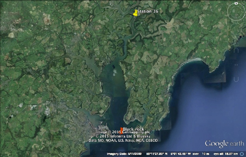
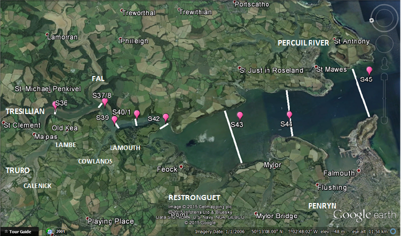
Station 36 |
Station 37/38 |
Station 39 |
Station 40/41 |
Station 42 |
Station 43 |
Station 44 |
Station 45 |
|
Time (UTC) |
08:07 |
08:55 |
09:36 |
10:08 |
11:26 |
11:53 |
12:47 |
13:33 |
|
Latitude |
50 14.357N |
50 13.464N |
50 13.334N |
50 12.920N |
50 12.416N |
50 11.088N |
50 10.202N |
50 08.587N |
|
Longitude |
005 00.912W |
005 01.049W |
005 01.605W |
005 01.550W |
005 01.784W |
005 02.083W |
005 02.302W |
005 01.412W |
|
Weather |
Sunny, 1/8 Cloud, Calm |
Sunny, 1/8 Cloud, Calm |
Sunny, 6/8 Cloud, Calm |
Sunny, 5/8 Cloud, Calm |
Sunny, 5/8 Cloud, Calm |
Sunny, 6/8 Cloud, Calm |
Sunny, 6/8 Cloud, Calm |
Sunny, 7/8 Cloud, Calm |
|
Wind Speed (m/s) |
2.5 |
2.6 |
3.1 |
3.8 |
4.4 |
4.3 |
5.1 |
5.6 |
|
Wind Direction (Deg) |
220 |
238 |
227 |
189 |
226.4 |
234.8 |
227.8 |
237.8 |
|
Water Depth (m) |
5.4 |
13 |
14.3 |
14.4 |
17.8 |
unknown |
unknown |
29 |