Disclaimer: The views and opinions expressed are solely representative of the contributors, and are not necessarily condoned or supported by the University of Southampton and/or the National Oceanography Centre Southampton.
The Fal Estuary
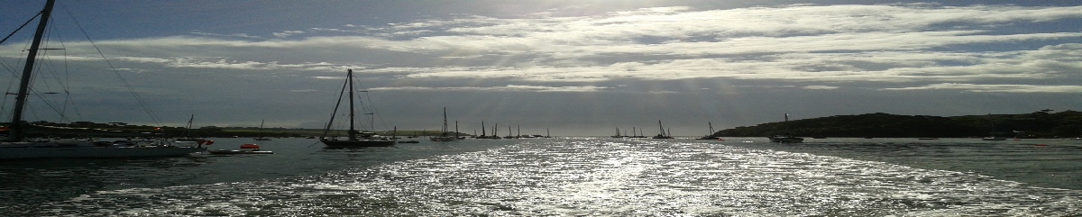
The Fal Estuary is located on the South coast of Cornwall. It is a ria, formed at the end of the last ice age when increasing sea levels resulted in flooded river valleys. The estuary is known as Carrick Roads, and it runs from Truro for ~18km before reaching the open ocean between Pendennis Point and St. Anthony Head (www.cornwalls.co.uk/Falmouth/fal_river/htm). It’s a tidally dominated estuary, ranging from macrotidal at Falmouth to mesotidal at Truro (https://projects.exeter.ac.uk/geomincentre/estuary/Main.loc.h tm). A variety of environments such as subtidal, intertidal mudflats and saltmarsh host rare biotopes such as Zostera marina (Eelgrass) and Maerl. The Fal Estuary has thus become a Special Area of Conservation (Langston, et al., 2003)
The Fal estuary catchment region has a well-
Approach
Between the 24th of June and 5th of July 2014, a group of undergraduate students within the spheres of Marine Biology and Oceanography conducted survey work within the marine environment of the Fal estuary and surrounding areas. The aim was to investigate the biotic and abiotic conditions of the estuary.
Figure 1: Tide chart, Falmouth, June 2014
Figure 2: Tide chart, Falmouth, July 2014
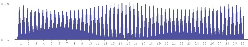

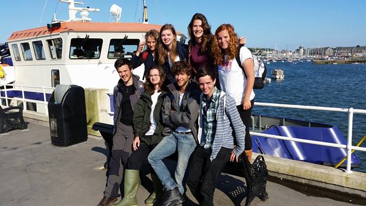
Figure 3: A relatively seasick group of undergraduates.