|
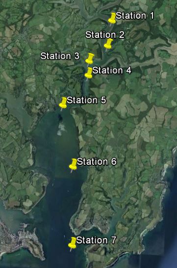
Station number |
Latitude (deg N) |
Longitude (deg W) |
Time (UTC) |
|
1 |
50° 014.393 |
005° 000.879 |
09:58:00 |
|
2 |
50° 013.750 |
005° 000.952 |
10:45:47 |
|
3 |
50° 013.333 |
005° 001.601 |
11:21:51 |
|
4 |
50° 012.892 |
005° 001.583 |
11:57:20 |
|
5 |
50° 012.181 |
005° 002.438 |
13:29:00 |
|
6 |
50° 010.723 |
005° 001.598 |
14:12:00 |
|
7 |
50° 008.869 |
005° 001.600 |
14:59:00 |
|
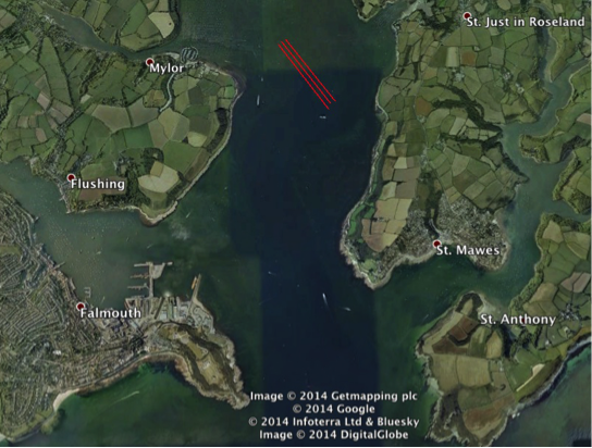
Line numb er |
Position of line |
Latitude (deg N) |
Longitude (deg W) |
Time(AST) |
|
1 |
Start |
50° 10. 758 |
005° 2.3015 |
07:51:33 |
|
1 |
End |
50° 10.340 |
005° 01.832 |
07:58:21 |
|
2 |
Start |
50° 10.374 |
005° 01.809 |
08:00:16 |
|
2 |
End |
50° 10.776 |
005° 02.275 |
08:06:56 |
|
3 |
Start |
50° 10.791 |
005° 02.240 |
08:09:27 |
|
3 |
End |
50° 10.389 |
005° 01.771 |
08:16:04 |
|
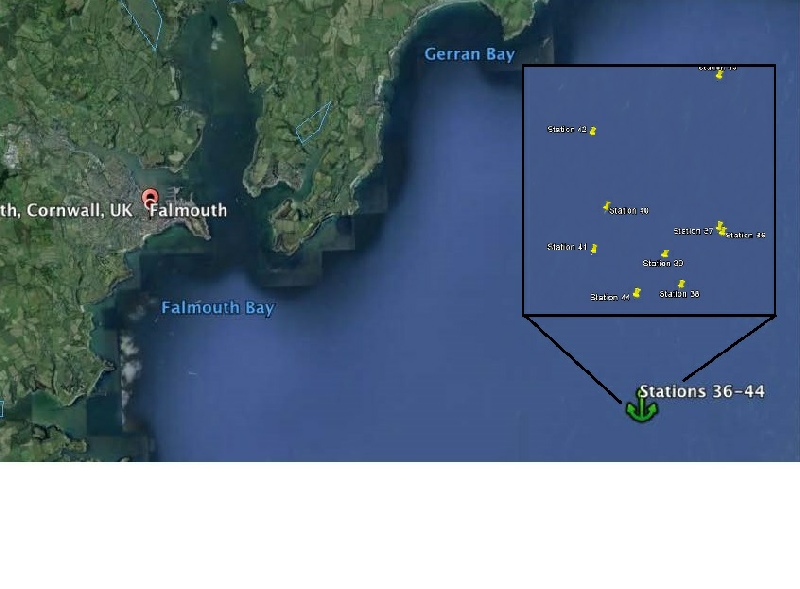
Station number |
Latitude (deg N) |
Longitude (deg W) |
Time (UTC) |
|
36 |
50° 05.690 |
004° 52.006 |
08:32:00 |
|
37 |
50° 05.713 |
004° 52.032 |
09:30:00 |
|
38 |
50° 05.425 |
004° 52.321 |
10:14:00 |
|
39 |
50° 05.577 |
004° 52.441 |
10:30:00 |
|
40 |
50° 05.816 |
004° 52.88 |
11:30:00 |
|
41 |
50° 05.601 |
004° 52.975 |
13:25:00 |
|
42 |
50° 06.199 |
004° 52.991 |
14:34:00 |
|
43 |
50° 06.495 |
004° 53.018 |
15:30:00 |
|
44 |
50° 05.382 |
004° 52.655 |
16:28:00 |