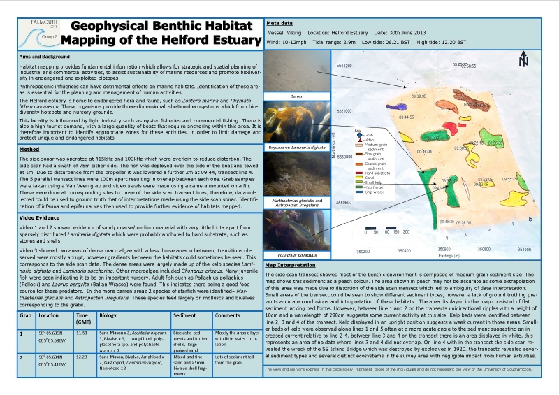
The Geophysical technique side-scan sonar was used in conjunction with sediment grabs
and video footage to carry out habitat mapping around Helford river and bay. The
vessel Viking was used to carry out the data collection. Using charts of the area
a transect was chosen and was plotted. Side scan sonar was deployed into the water
and was used to determine the features and structure of the sea bed. There were 5
lines in the transect, each 100m apart. These lines were followed as closely as possible
by the vessel, however to allow for any deviations from the line, latitudes and longitudes
were recorded every minute.
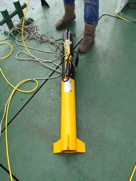
Using information from the side scan sonar on changes in sediment type and also the
charts, we determined 3 sites that would be useful to video to give a more detailed
picture of the benthic environment. This also provided a form of ground-truthing
verifying data observed by the side-scan sonar. The video camera was mounted on a
fin and was deployed over the side of the vessel. It was then lowered through the
water column too depth just above the sea floor whilst observations were made on
a screen from the bridge. Time and location data was recorded at the beginning and
end of footage on a board.
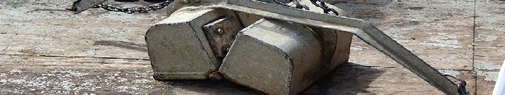
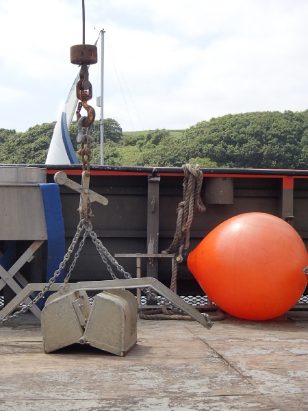
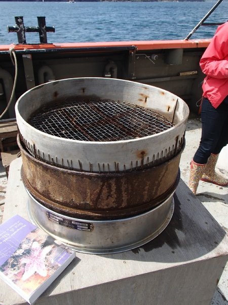
Areas in which sediment grabs could be obtained were determined by the side-scan
sonar data along with charts and a previously determined habitat map. This prevented
the grab from interfering in conservation areas or hitting rocky outcrops. The grab
was deployed via a crane over the side of the vessel and once a sample had been obtained
and was brought back onto the deck it was sieved into fractions using a 5ml, 1ml
and 0.5ml mesh. Species within the sample were then identified before returning to
location of grab to release the organisms to prevent contamination of habitats. This
work allowed analysis of the habitat structure and ecosystem within the grab area.