
PLYMOUTH 2018
 BACK TO ESTUARY

WINNIE THE POOH
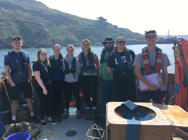
The upper Tamar estuary was surveyed using the smaller vessel Winnie the Pooh which deployed a multi-parameter meter to measure temperature, salinity and dissolved oxygen at every 1m depth at each station. A Niskin bottle was used to collect and prepare surface water samples for chlorophyll-a and nutrient lab analysis using methods described by Strickland and Parsons (1972) ([10]). A zooplankton sweep net (with diameter 0.5m and mesh size 200µm) was also deployed at three of the stations – one low salinity, one at a medium salinity and one high salinity, with formalin added to fix the live samples.
This was carried out from site 1 through to site 14. See the map below for locations of each station in relation to B33 - the uppermost station surveyed by the Falcon Spirit.
WINNIE THE POOH
Figure 5 - location of the stations of Winnie the Pooh’s survey of the upper Tamar estuary.
[10] Strickland, J. and Parsons,T. (1977). A practical handbook of seawater analysis.
Ottawa: [Queen's Printer].
| Our Findings Home |
| Offshore |
| Estuary |
| Geophysics |
| C1 |
| C2/3 |
| C4 |
| C5 |
| C6 |
| C7 |
| Falcon Spirit |
| Winnie the Pooh |
| Pontoon |