Copyright © All rights reserved. Made by Serif. Terms of use | Privacy policy


Geology
Click on image for more info

(Above) Mouse-
Introduction
06/07/18
Aims
To make a small structural map of the folded rocks complementing the side scan sonar survey of Plymouth Sound.
Method
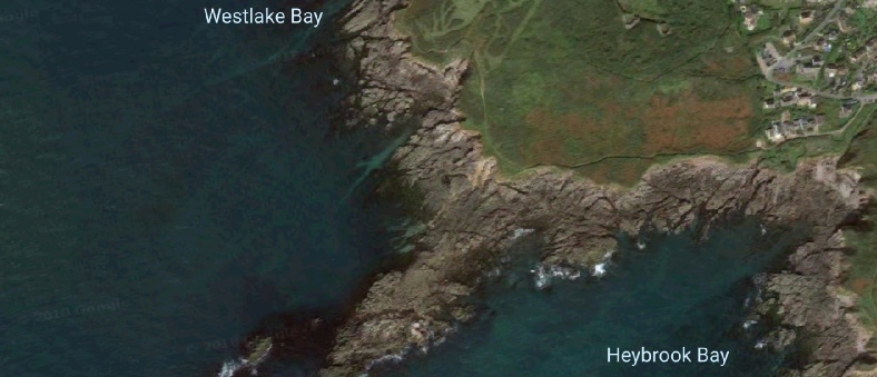
Using compass clinometers, bearings were taken of the dip and strikes of the bedding planes. These were then located and drawn onto the map to help create an accurate depiction of the geology at Heybrook Bay. Using the bearings, areas of folds were identified and classified. Faults were identified by comparing key features, such as colour changes between layers and types of folding, then matching these features on the opposite side of the suspected fault. Finally, we identified the different layers of rocks and the causes in the small cliffs at Renney point.
Renney Point history
The rocks in this area of Plymouth mainly comprise the continental river plain and
shallow marine sediments. These were intruded by granites and deformed in the Hercynian
orogeny that was caused by the closure of the Rheic Ocean. When this occurred, the
sedimentary rocks underwent multi-
Faults + Folding
Results -
The bedding planes showed anti-
The faults
It was found that there were 2 faults present at Renney Point, and that secondary folding had occurred further down the bed creating the rounded shape. The faults were identified as a dextral fault and a sinistral fault as shown on the map (Above).
Way-
The way-
Bedding
The layers of rocks identified in the cliffs were bedload at the bottom, suspended matter and then frost shattered debris. This top layer was created at the last glacial maximum when Renney point would have been Periglacial, therefore there would have been a permafrost at the top. This permafrost then melted and shattered the surrounding rocks creating debris that was unstable and moved down the slope creating a layer of frost shattered debris.
(Above) Renney Point
Summary
These results gave us an insight into the conditions of the seabed of The Sound. When using this information in combination with the side scan sonar we were able to see different features in the seabed and identify the type of substrate and therefore where to carry out the video transects.

(Above) The bedding structure we studied