
The Fal Estuary is the largest estuary found within England with multiple tributaries and creeks. The estuary basin is a drowned river valley, also known as a ria. It formed at the end of the last glacial ice age approximately 1.8Ma. The connected rivers and estuary are situated in a carboniferous rock and Granite setting and the estuary mouth which extends between Pendennis Point and St Anthony Point is composed of sands of marine origin. These specific settings and properties provide a unique topography for a range of habitats. The estuarine system is known as the Fal and Helford Marine Special Area of Conservation (SAC) and is protected by numerous laws. Habitats specific to this region are maerl beds, saltmarshes and mudflats.
The estuary is divided into 2 sections, the inner tidal tributaries and outer tidal basin (Carrick Roads). It has a mean tidal range at spring tides along the coast of 5m but is mesotidal at Truro with a spring tide of 3.5m. The average surface coastal water temperature in summer is 16°C (Global Sea Temperature) and in winter the temperature drops to 9°C.
Historically, it has been subject to waste discharge from old mines and spoil heaps (“Location of Fal Estuary”, no date). Due to mining and waste discharge the riverine endmember is likely to have a high metal content. This can affect species diversity, as only adaptive species with a higher toleration to high metal concentration will survive in the sediment. Several sewage outlets are also found around and within Falmouth and the dockyard. Factoring in the surrounding agriculture, there is a surplus of nutrients from point sources and diffuse inputs.
This website contains the processed data of a study completed by a group of seven university students. It aims to provide recent information on the biological, chemical and physical integrity of the Fal estuary, as well as highlight any spatial and temporal changes from previous studies.
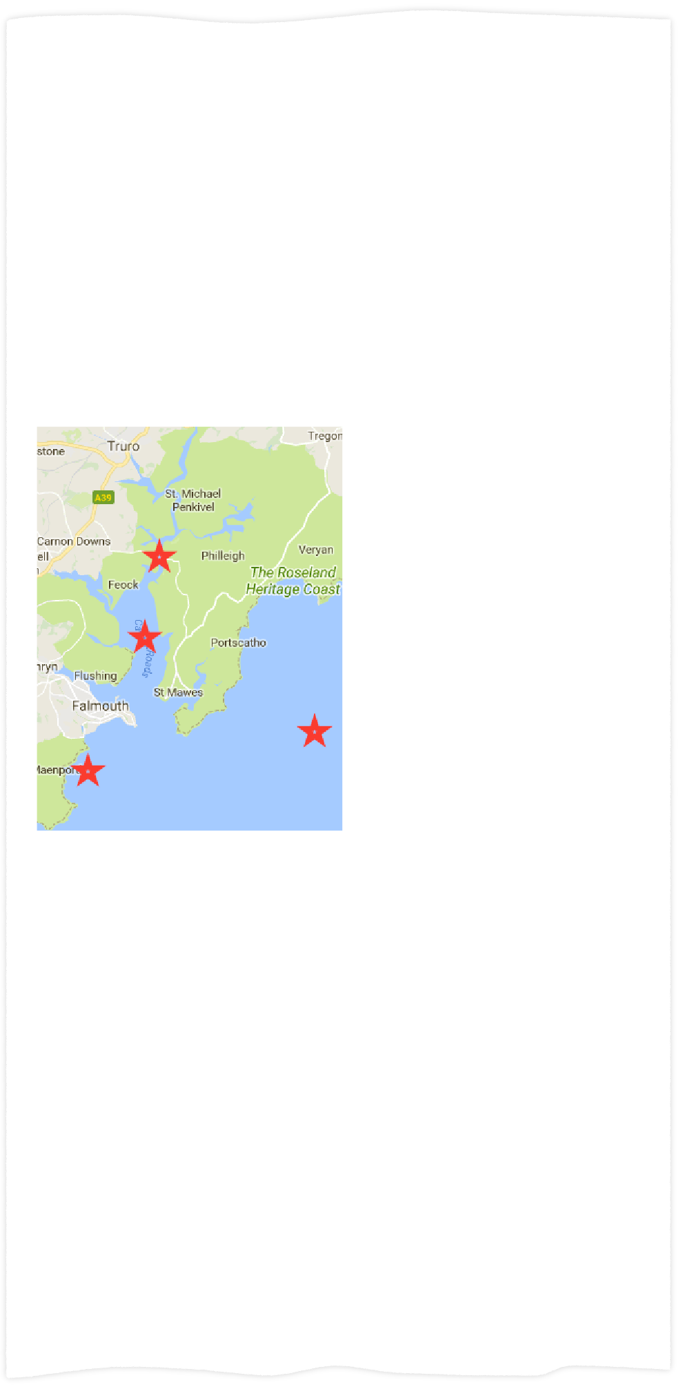
Data was collected on the King Harry pontoon, showing temporal variation with the tidal movement at the head of the estuary.
In order to assess the quality of the estuary sediment, a site was chosen within the conservation area. The habitat was analysed using a side scan sonar, an in situ HD video transect and a grab sample. This provided data on the physical, chemical and biological properties within the substrate.
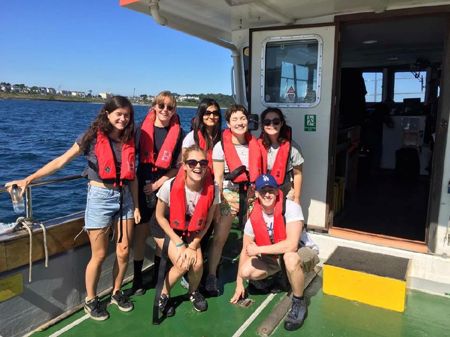
Two boats, the Callista and the Teramare, were taken out into the coastal waters outside the estuary. Spatial and temporal data was collected similar to the pontoon and estuary sites. This was carried out in order to provide insight into the role of the estuary in the transfer process of river water to the oceans.


Data was collected on the King Harry pontoon, showing temporal variation with the tidal movement at the head of the estuary.