

Aims & Objectives
On 05/07/2017, Group 4 surveyed an area in Falmouth Bay within the Special Area Conservation (SAC) zone on MTS Xplorer. The main aim of this survey was to identify the benthic habitats using 3 different methods of data collection. The sidescan sonar from the Towfish gave an initial picture of the seabed and any changes in substrate, therefore indicating a change in habitat and its associated organisms.
The video taken using a drop-down camera confirmed the substrate of the zone and gave an insight into the benthic organisms that inhabit it. The Van Veen grab gave a more detailed picture of the organisms that live in the substrate and thrive in the unique habitat that the SAC area of Falmouth Bay provides.
Weather Conditions: Max. Temp: 21°C, Average Temp: 16°C, Wind Speed: 16 km/h , Precipitation 0%
Click the poster on the left for a more detailed report of our findings!


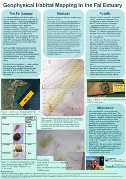
Towfish deployed in order to take side scan sonar
Species caught during the Van Veen grab: Turritella, Tellinidae, Lucinidae
Snapshot of Van Veen grab showing the two sediment types.
DISCLAIMER: The findings and views expressed on this website are not those of the University of Southampton or the National Oceanography Centre