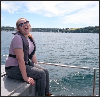
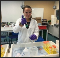
Amy Ringer
MSci Oceanography with French
Year Abroad at University of Bordeaux, France
avr1g15@soton.ac.uk
Dan Leigh
MSci Oceanography
Semester Abroad at University of Bergen, Norway
dml1g15@soton.ac.uk
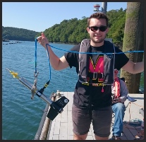
Karl Verspyck
BSc Marine Biology with Oceanography with Year in Employment
Year in Industry at British Airways
kwv1g15@soton.ac.uk
Zoe Hodgson
Msci Marine Biology
Semester Abroad at University of Gothenburg, Sweden
zeh1g15@soton.ac.uk
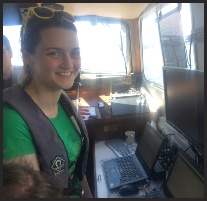
Katie Hodge
MSci Oceanography
Semester Abroad at University of Bergen, Norway
kh7g15@soton.ac.uk
Jordan Sutherland
MSci Marine Biology
Semester Abroad at University of Gothenburg, Sweden
jfjs1g14@soton.ac.uk
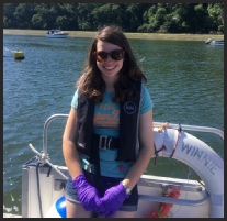
Nancy Burrell
Msci Marine Biology
Semester Abroad at University of Bergen, Norway
nb14g14@soton.ac.uk
Emma Curtis
Msci Marine Biology with Study Abroad
Year Abroad at University of Bergen, Norway
ec9g15@soton.ac.uk
Welcome to our website!
This displays the summarised work of Group 2 analysing the
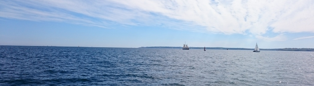
biological, chemical and physical data in the Fal Estuary and offshore in the English
Channel from the 3rd July -
This survey forms the latest entry in
a data set spanning over 10 years all collected by Oceanography and Marine Biology
students from The University of Southampton, UK.
Be sure to look at our pasty ratings for each practical!
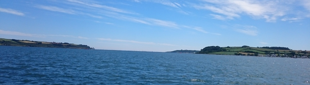
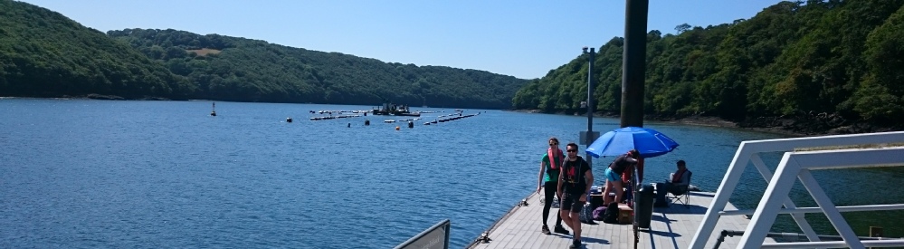
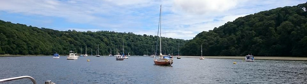
The eighteen kilometere long river Fal meets the ocean between Pendennis Point (Falmouth)
and St Anthony Head (Roseland Peninsula) in the south of Cornwall. The estuary (also
known as Carrick Roads) is a ria -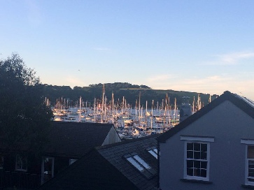 reaches
thirty four metres and has a width of at least a mile along its entire length. Six
main tributaries (including the Truro River) and twenty eight minor creeks and rivers
(such as Restronguet Creek and the Penryn River) feed the estuary (Cornwall Guide,
2017).
reaches
thirty four metres and has a width of at least a mile along its entire length. Six
main tributaries (including the Truro River) and twenty eight minor creeks and rivers
(such as Restronguet Creek and the Penryn River) feed the estuary (Cornwall Guide,
2017).
As the third largest natural harbour in the world, the Fal estuary is crucial for industry and for the local ecology. It provides a number of valuable habitats such as mudflats and saltmarshes and is home to protected maerl beds and eel grass which are nursery locations for many other species. The site has been deemed a Special Area of Conservation (SAC) (Cornwall Guide, 2017; Joint Nature Conservation Committee, 2017; Projects Exeter, 2006a). However, there have still been issues of pollution such as the abandonment and subsequent flooding of the Wheal Jane mine in 1992 (Bowen et al. 1998,, Hunt and Howard 1994; Projects Exeter, 2006b). Following this, the Fal was reported as the most metal polluted estuary in the United Kingdom (Bryan and Langston, 1992).
The importance of the Fal as a unique habitat and the risks that it faces due to anthropogenic pollution mean that careful monitoring of its conditions is vital in order to protect and conserve vulnerable species.
Disclaimer: All the opinions expressed in this site are that of Group 2 and not necessarily the University of Southampton or the National Oceanography Centre.
Falmouth Field course 2017
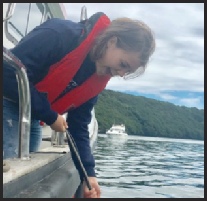
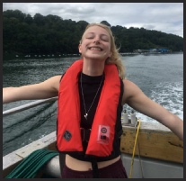
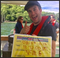
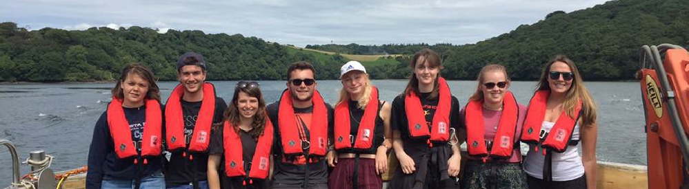
Group 2
Meet the Team!
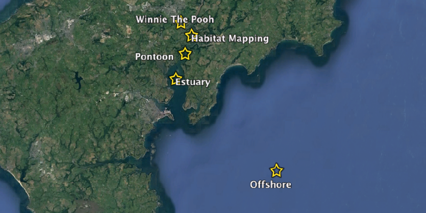
Click on a site to visit it from the map!
| About Us |
| Overview of Falmouth |
| Biology |
| Physics |
| Chemistry |
| Physics & Chemistry |
| Biology |
| Physics & Chemistry |
| Equipment |
| Vessels |
| References |