
Disclaimer: The views and opinions expressed in this site are solely those of Group 13 and not necessarily the University of Southampton or the National Oceanography Centre, Southampton.
Geography
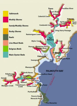
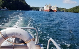
Falmouth Estuary is a ria (drowned river valley) system which developed in response to Holocene sea-level rise (1) at the end of the Devensian glaciation roughly 10,000 years ago. The estuary, which is located on the south coast of Cornwall, England, has a macrotidal range with a maximum spring tide of 5.3 m at Falmouth. Falmouth is the third largest natural harbour in the world (2), making up part of the estuaries total shore length of 127km.
Ecological Significance
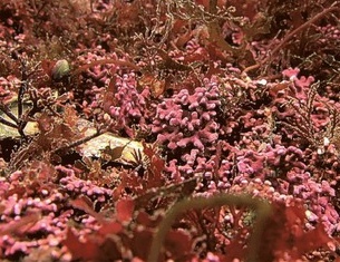
The estuary is considered a Designated Special Area of Conservation by the JNCC (4); local and national authority places great commercial and ecological value in many of the features, including mudflats, salt marshes, eelgrass beds, maerl and sandbanks. There is a range of fully diverse marine habitats from extremely sheltered in the inlets to the wave-exposed, tide-swept open coast (5); diversity across the marine life is vast, including algal flora and a number of warm-water species and also benthic species such as bivalve molluscs, amphipods, polychaete worms. Maerl beds require extensive conservation as they are a very fragile habitat, especially vulnerable to damage from trawling, aquaculture, dredging and pollution (6). Conservation of this area remains a top priority as this area hosts copious amounts of commercial and recreational activity, which represents a substantial proportion to the local economy (7).
Mining
A number of significant mining areas have historically been located within the Falmouth Estuary catchment. River tributaries to the west have generally added mine waste tailings whilst sediments, which are a byproduct of tin streaming and china clay extraction, have been added to the East of the estuary from the St. Austell mining district (8). The significance of regional mining on the Falmouth Estuary is exemplified by the Wheal Jane event in 1992. During this incident, caused by technical issues with the mining pumps, there was a discharge of up to 50 million liters of acidic metal-rich mine water (9).
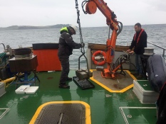
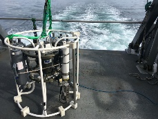
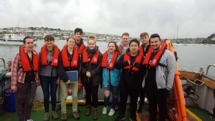
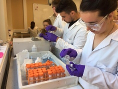
The aim of this study was to observe and analyse the biological, chemical and physical characteristics of the Fal Estuary. Surveys were conducted between July 5th and July 13th 2017. Our samples were taken off-shore of Falmouth, across the Falmouth estuary, at the King Harry Ferry pontoon and in the protected area of the bay.
This is the 12th consecutive year that the University of Southampton have sampled these waters which has meant that it is possible to compare data to previous years and to highlight any temporal changes that may be occurring.
History
Port industry has been established in Truro and Penryn since the 12th and 14th century respectively, the latter handled tin, granite and coal. Today the estuary continues to feed the local economy through tourism, fishing and shipping support industries such as cargo handling and marine engineering(10).
| About Us |
| Biology |
| Chemistry |
| Physics |
| Results |
| Biology |
| Chemistry |
| Physics |