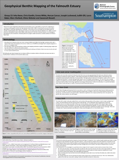
The benthic habitat of the bay was mapped using side-scan sonar, underwater videography,
and a Van Veen grab to determine the substrate, bed formation and dominant species
in the area. The poster below summarises the main findings from the area surveyed.
Understanding the seabed topography is essential for assessment relating to conservation
of this area; the Falmouth estuary has been designated a Special Area of Conservation
(SAC) for the protection of Maerl and seagrass beds. These species are considered
habitat building nursing ground and important carbon sinks. Seagrass beds are particularly
associated as natural coastal barriers, reducing the wave action capacity. However,
the conservation boundary is a straight line possibly crossing biological habitat
boundaries; destructive fishery practices such as trawling may be carried right on
the conservation boundary thus harming possible protected outcrops. If a better understanding
and mapping of habitat boundaries were carried on to help the production of more
biologically accurate and efficient conservation boundaries, consequently protecting
more possible maerl and sea grass bed sites.