

Date: 8th July 2017
Time: 8:00 UTC to 14:00 UTC
Weather: calm sea – 7/8 cloud coverage
Wind: 7 m/h
Area: From 50°14.961 N -
To 50°08.670 N -
Tide High: 4:39 UTC – 16:57 UTC
Low: 11:08 UTC
Aim:
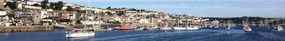
The aim of collecting data from the estuary was to investigate the change in physical, chemical and biological conditions along the estuary. Each set of data was collected at eight different stations. Stations N, O, P and Q on the Winnie the pooh in the morning and station 33, 34, 35 and 36 on boat Bill Conway in the afternoon (see map) over a period of approximately 8 hours.
MTS Terramare (photo by Matt Newton)


Disclaimer: The views and opinions expressed are those of the contributors and do not reflect the views and opinions of the University of Southampton
