Falmouth 2016 Group 9
Overview:
In order to gain a complete overview of the estuary, various aspects of the Fal area
were focused on:
Pontoon: Measurements of salinity, temperature, irradiance, flow speed and direction, dissolved oxygen content and pH were taken every 30 minutes at King Harry’s Ferry pontoon in order to build up a time series over a period of three and a half hours. This was done by using 4 instruments; an EXO probe, a lightmeter, a flowmeter and Niskin bottles.
Estuary: Physical, chemical and biological variables were measured at various sites up the Fal estuary, in order to gain a full understanding of the Estuary and its mixing processes. Various sites between the river end member and the sea end member were measured using a CTD, before bottles were taken around areas of interest. These samples and data recorded were then taken back to the lab for analysis and interpretation.
Offshore: We recorded temperature, salinity, nutrient levels, flow speed and direction,
abundance and species of zooplankton and phytoplankton, density and light/backscatter
data using a variety of on board equipment including a CTD (rosette), ADCP and MiniBAT
(tow-
Geophysics: Going out on the MTS Valonia, we were able to take 4 transects with a sidescan sonar active in order to map the sea bed. This, along with some video feeds across transects and grabs, gave us an indication to the layout and makeup of the seabed and the habitats associated with it including mearl beds and rocky outcrops.
Welcome to the Group 9 Falmouth Webpage 2016!
Follow the links above and in the overview to follow our work over the week.
Click to expand.
References:
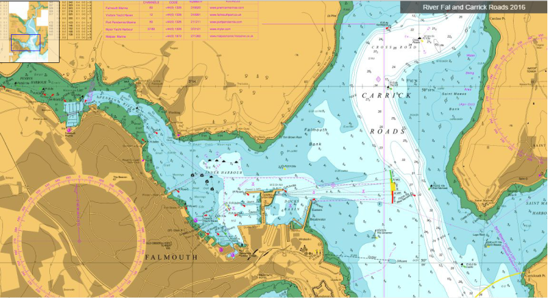
United Kingdom Hydrographic Office, 2016. Falmouth 4, The Upper Reaches as far as
Truro: River Fal and Carrick Roads 2016: Visitmyharbour.com. [Online]
Available at:
http://www.visitmyharbour.com/harbours/channel-
[Accessed
27 06 2016].
Click to expand.
Introduction:
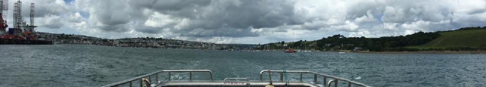
The Fal Estuary spans an area over 24km2 and is considered the 3rd deepest natural harbour in the world. Over a period of 12 days from the 20th of June to the 2nd of July 2016 we conducted research and a series of practical experiments at various sites inshore and offshore of Falmouth. These have included a survey of the Fal Estuary, offshore sampling to determine the location of the tidal front, Habitat mapping off Rosemullion Head and a Pontoon time series. Primarily, data has been collected using the vessels R.V. Callista, R.V. Bill Conway and MTS Valonia and then further analysed within the laboratories of the Falmouth Marine School.
Disclaimer: The views, photographs and figures on this site belong to the students in Group 9 (unless otherwise stated), and do not reflect the views and opinions of the National Oceanography Centre or the University of Southampton.
| Introduction |
| Methods |
| Results |
| Discussion |
| Introduction |
| Methods |
| Results |
| Physical |
| Chemical |
| Biological |
| Introduction |
| Methodology |
| Results |
| ADCP |
| Richardson |
| Physical |
| Chemical |
| Biological |
| Introduction |
| Methods |
| Poster |