Introduction:
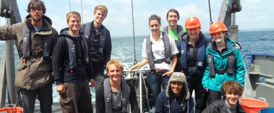
For two weeks at the end of their second year, Oceanography and Marine Biology students from the University of Southampton travelled to Falmouth to carry out an investigation of the Fal estuary and its surrounding offshore area. The aim of the investigation was to collect a variety of data on the biology, chemistry and physics of the area in order to work towards writing a detailed report on their findings as part of a third year module. This website is dedicated to the raw and processed data that Group 13 collected on the field trip and the conclusions they drew from their results.
The Fal Estuary and its surrounding area:
The Fal estuary, in Cornwall South West England, has a shoreline length of 127km and extends from its mouth (between Pendennis Point and St Anthony Head) 18km inland to its tidal limit at Tresillian. The estuary was formed during the Holocene period as rising sea levels flooded the river valley creating a ria system[1]. It contains many tributaries which eventually all flow into Carrick Roads where the estuary mouth widens and becomes less sheltered. The Fal estuary is unusual in that the majority of the habitats are fully marine due to a lack of strong freshwater input[1]. The geology of the estuary is predominantly Devonian metasedimentary rock with Carnmenellis Granite to the West and the St Austell Granite to the East[2]. White china clay, once washed downriver from clay extraction sites, features in the mudflats throughout the estuary[3].
The Fal estuary has sheltered mudflats in the upper Fal and a wave exposed, rocky coast which is typical of a ria and therefore can support a wide range of habitats[1]. The bed of the estuary is composed of hard substrata and mixed sands and gravels that have resulted in a high diversity and abundance of flora and fauna. The variety of habitats and organisms, including maerl[4] and eel grass, are protected under the European Commission as a Special area of Conservation (SAC). As well as the SAC, five Sites of Special Scientific interest (SSSI) have been designated across the Fal River.
For many centuries, human activity has played a large role within and around the estuary. The Fal estuary was subject to heavy metal inputs from a variety of mining activities. During the 19th century this area of metalliferous mining contributed 50% to the world’s supply of Cu, As and Sn[5]. Large amounts of mining and smelting wastes have resulted in high concentrations of metals in the estuary; this has resulted in Restronguet Creek is the most polluted estuary in the UK[6]. In more recent years, activity has shifted to leisure and shipping activities however mining discharge is still major pollution problem[1].
Citations
[1] Fal & Helford Special Area of Conservation Management Scheme. 2006. 1-
[2] Leveridge, B. E., Holder, M. T., Goode, A. J. J., Scrivener, R. C., Monkhouse, R. A. 1990. Geology of the Country around Falmouth. British Geological Survey.
[3] Ranwell, D. S. 1974. The Salt Marsh to Tidal Woodland Transition. Hydrobiological
Bulletin. 8, 139-
[4] Hall-
[5] Bryan, G. W. & Gibbs, P. E., 1983. Heavy metals in the Fal estuary, Cornwall:
A Study of Long-
[6] Luoma, S. N., Ho, Y. B. & Bryan, G. W. 1995. Fate, Bioavailability and Toxicity of Silver in Estuarine Environments. Marine Pollution Bulletin. 31, 48.
Falmouth Fieldcourse: Group 13

The views expressed on this website are those of the individuals and not necessarily the views of Southampton University or the National Oceanography Centre
