

Click the map to navigate to our areas of marine research
Inshore
Offshore
Geophysics
Within these web pages you will find a suite of data and analysis collected and collated over a short period in the Plymouth sound, Tamar estuary and at station L4 off of the south coast of Plymouth.
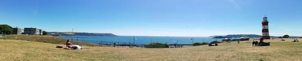
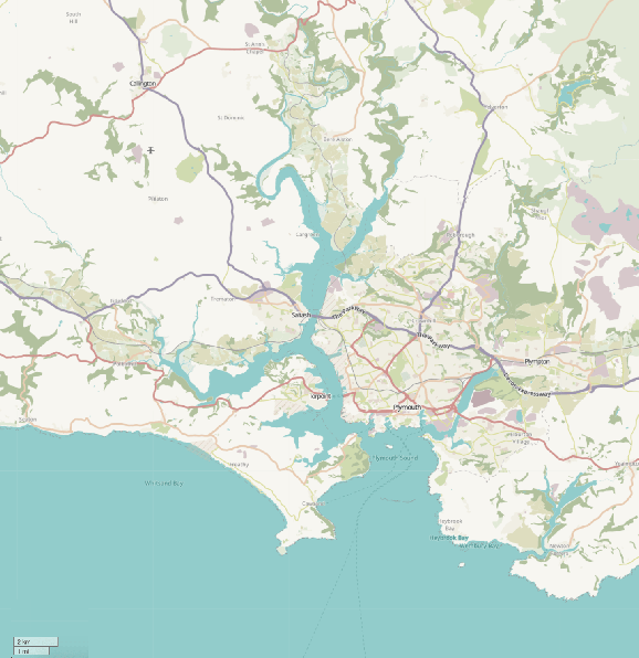
The Sound
The Plymouth sound describes the area between Penlee Point, Wembury Point and Plymouth Hoe to the north. The river Tamar is one of 3 water bodies entering the Sound, with The Plym and the English Channel providing the other water inputs.
The Marinas
Plymouth is well-known for the presence of the large naval base HMNB Devonport that handles a range of warships and submarines, as well as a range of other private and public docks that facilitate the movement of ships from pleasure yachts to Brittany Ferries.
Marine Protection
The Sound and nearby estuaries are protected under a variety of European and UK government legislation with a Special Area of Conservation (SAC) covering much of the Sound. Special Protection Areas (SPA) and Marine Conservation Zones (MCZ) cover the upper reaches of the surrounding estuaries and these form the Plymouth Sound Marine Protected Area (MPA). This ensures commercial activities such as dredging (BVL, 2011) are conducted with respect to the environment learn more visit the Plymouth MPA website.
Thanks goes out to the staff from the University of Southampton, University of Plymouth marine station and the Marine Biological Association. without their continued help and support the data collection for this site would not have been possible.
Plymouth University of Southampton Marine Research
Onshore
| Nutrients |
| Water Column |
| Plankton Distributions |
| Nutrients |
| Water Column |
| Plankton Distributions |
| DAPI |
| References |
| Meet the Team |
| Laboratory protocols |