Home Offshore- Terramare Estuarine Habitat Mapping Index

CLICK ON ALL PLOTS TO EXPAND!

Offshore- Terramare

MTS Terramare was used to collect offshore time series data on the 04-07-2017. Data was collected from one sample site, including 4 different offshore stations (stations 4-7) from 09:16 UTC to 13:21 UTC. The location of the sample site in relation to the Fal estuary are shown on the map below.


At each site  we collected:

MTS Terramare (source: https://www.facebook.com/mtsgroupltd/photos/a.560543534139 903.1073741848.150517325142528/647037062157216/?type=3 &theater )

Figure 1: Map of Offshore sample site in respect to Falmouth, with inadividual stations indicated by zoomed section

Station

Latitude

Longitude

Time [UTC]

Depth [m]

Conditions

4

50° 05.695N

4° 52.118W

09:16

66

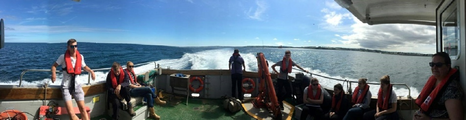
Cloud cover: 8/8

Sea state: calm

5

50° 06.057N

4° 51.950W

10:46

66

Cloud cover: 7/8

Sea state: calm

6

50° 05.586N

4° 52.289W

12:18

66

Cloud cover: 6/8

Sea state: calm

7

50° 05.919N

4° 51.863W

15:00

66

Cloud cover: 5/8

Sea state: calm

Table 1: General information for each station in the survey

Disclaimer:

The views and opinions expressed on this website are of the individuals and not necessarily of the University.