
CLICK ON ALL PLOTS TO EXPAND!
Estuarine -
For the estuarine survey we were able to collect using both:
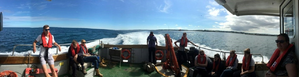
The ADCP was only available on RV ‘Bill Conway’ and so was only collected for the stations located toward the mouth of the estuary, while CTDs were used at the pontoon and on RV ‘Bill Conway’. Map 1 shows the location of the transects at which the data was collected.
CTD
Temperature
For all stations we can observe a general pattern, with higher surface temperatures
which gradually decrease as we move down the water column (Figure 1), due to reduced
absorption of heat energy from the Sun. The lowest surface temperatures, were obtained
from the stations located furthest downstream, as they have the greatest depths and
experience the greatest mixing due to wind and currents. On the other hand, the surface
temperature increases further upstream, likely due to the water becoming shallower,
and as such experiencing a stronger tidal influence and greater stratification. This
also explains the decreasing depth of the boundary layer shown through stations 37-
Map 1: Transects measured on RV ‘Bill Conway’

Figure 1: Temperature-
Station 44 is a slight anomaly, and shows very little temperature variation, with only a slight decrease being visible at lower depths, reaching a minimum of ~15.6°C, possibly due to multiple riverine inputs combined with the influence of wind and currents.
Salinity
All stations show an increase in salinity with depth (Figure 2) as expected due to salinity’s proportional relationship with density. The lowest salinity values are shown at the stations furthest upstream, which also show the greatest range of salinity throughout the water column, this is likely due to stratification caused by the strong tidal influence felt upstream. Towards the mouth of the estuary the salinities at each station increases, due to the greater proximity to the English Channel’s sea water, the range in salinities throughout the water column also decreases towards to mouth of the estuary, likely due to greater mixing caused by exposure to winds and currents, combined with tidal influence.

Figure 2: Salinity-
Similar to the temperature profiles shown above, the salinity profiles in the middle of the estuary show an intermediate profile, with a well mixed surface layer descending to a more rapid increase in salinity at depth, particularly for Station 43, likely due to multiple riverine inputs at this location.
Fluorescence
Fluorescence throughout the entire data set shows very low values, ranging from ~0.16
to ~0.65, with majority of results only ranging from ~0.18 to ~0.24. The largest
peak (~0.65), is located at ~4m at Station 41. This peak may be due to the station’s
location, next to a sewage treatment plant, which could cause an increased supply
of nutrients, leading to greater plant growth and so higher fluorescence (which is
an indicator of chlorophyll a concentrations). This peak is also shown on a smaller
scale for stations 40 and 42, however, generally the fluorescence is low, and the
profiles suggest well-
Figure 3: Fluorescence-
Transmissivity
Transmissivity seems to show a general patter of increasing with depth, again following the same profiles as temperature, showing that the stations upstream experience greater stratification with lower, transmissivity at the surface and a sharp increase at ~10m, to the maximum shown by all stations at ~4.7V. While the stations located toward the mouth of the estuary show greater mixing, with Station 37 showing almost no variation in throughout the entire column. This is again likely due to the combined effect of tidal influence with forcing due to wind and currents.
Figure 4: Transmissivity-
ADCP
The ADCP (Acoustic Doppler Current Profiler) uses the acoustic Doppler principle to transmit a sound pulse of constant frequency to measure the variation in the backscatter. It measures the water velocity as well as its direction. The ADCP transects provide a range of information about the water column being analysed and sampled. As seen on the figures below, the transects taken show the shape and depth of seabed of one transect. Four transects were taken from four stations on RV ‘Bill Conway’ on 10/07/17 from Black Rock to the Pontoon upstream. (Table 1, Map 1)
The transects on the right (37, 38, 39 and 40) were during high tide but as they move upstream (from 37 to 40) the transition from high to low water can be seen from the change in water flow speed on the profiles. Transects 41 and 40 were taken further upstream going into river Truro the depth is shallow with an average depth of 15.8m showing no depth spike in the central channel. Transects 44 and 37 are at Fal estuary mouth clearly showing a deep channel caused by greater water flow, as a reflection of low water, with a maximum average depth of approximately 30.8m for both transects. This indicates a drowned river valley.
ADCP data also shows the flow speed and direction on the figures below. The figures indicate an increase in flow speed as we move closer to the Black Rock at the river mouth on station 44 but the opposite seems to happen on the right where the flow speed seems to increase upstream as a result of the tidal state previously indicated.


Figure 5: ADCP data for station 41
Figure 6: ADCP data for station 40


Figure 7: ADCP data for station 42
Figure 8: ADCP data for station 39

Figure 9: ADCP data for station 43

Figure 10: ADCP data for station 38

Figure 11: ADCP data for station 44

Figure 12: ADCP data for station 37
From figure 13 it can be seen that Ri values were all below 0.2, suggesting a very
turbulent and thus unstable, well mixed water column with surface mixing likely due
to wind stress and bottom mixing to shear stress. The fact that the transects at
stations 41, 42, 43 and 44 were taken following an ebb tide supports a well-

Figure 13: Richardson’s number against depth for stations 43 and 44.
As both station 41 and 42 were in shallower water upstream no direction parameters were used to calculate Ri values. The values are higher than for stations 43 and 44 being above 1 suggesting a more stable laminar flow. A plot of station 41 was produced showing a very stable and stratified layer.

Figure 13: Richardson’s number against depth for station 41.
Disclaimer:
The views and opinions expressed on this website are of the individuals and not necessarily of the University.


Richardson’s Number
The aim of using Richardson’s number (Ri) is to establish the stability or instability of the Fal estuary. For this an ADCP was used to collect 4 stations on the estuary, station 41, 42, 43 and 44. Stations 41 and 42 were in shallow water thus a simplified equation for Ri number (Equation 1) was used as we assume that all turbulence is over the seabed compared to a stable environment near the surface. In these stations we therefore assume that the maximum shear is between the water column and the seabed. For stations 43 and 44 the Ri number was calculated using an equation which takes the direction of flow into account (Equation 2).

| Biology |
| Chemistry |
| Physics |
| Biology |
| Chemistry |
| Physics |
| Pontoon |
| Vessels |
| Equipment |