Southampton University Falmouth 2015
Group 13
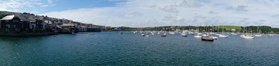
© B Carter

Disclaimer: The views and opinions expressed are those of the individual and not necessarily those of the University of Southampton or the National Oceanography Centre, Southampton.
27/06/2015
High tide: 00:29 and 13:17 UTC at a depth of 4.2m
Low Tide: 07:18 and 19:46 UTC at a depth of 1.7m
Weather conditions: Sun with a light wind and light cloud cover
On June 27, 2015, data was collected from the King Harry Pontoon on the Fal river located at 50°12.57N 005°01.37W. Beginning at 08:30 UTC, data was collected every half hour off the rear side of the pontoon until 10:30 UTC.
The parameters investigated were temperature, salinity, light intensity, current speed, pH, chlorophyll, turbidity, % Oxygen saturation and dissolved oxygen concentration and conductivity. This information was collected using a YSI probe, a current meter and a light meter.
The data gathered will allow conclusions to be drawn relating to the change in water properties across the tidal cycle throughout the day, particularly down the water column.
The tidal state varied throughout the investigation therefore the maximum depth was measured before each half hour reading therefore the number of measurements being taken increased throughout the day.
As the equipment was deployed by hand and on a floating pontoon the depth of the measurements would have some error and would change whilst readings were being taken. As the current would also pull the equipment it was difficult to find an exact depth and take an exact measurement of each parameter.
Although group 13 only gathered data until 10:30 UTC the graphs shown feature data collected until 15:00 UTC.
Current Meter
The Current meter was used to measure the speed and direction of the current at the same point on the pontoon at King Harrys Passage. We measured at the surface and at 1m intervals down to the bottom. The depth was determined by looking at the 1m markers on the wire as the instrument was lowered, so there is likely to be a small error in the depth. The measurements were only recorded once the readings had been refreshed for that depth. The readings were taken at metre intervals to 0.5m above the sea bed so damage to the probe was avoided.
Light Meter
Light intensity was measured using a light meter at every meter from the surface until the estuary floor. The light meter featured one component above the water in direct sunlight and another component which was lowered to the required depth. From the readings obtained “I1I” and “I2I” it is possible to find the light attenuation by using the formula Attenuation = Ln(I2I/I1I).
Chlorophyll
Chlorophyll measurements were taken at the surface, with two samples being collected every 30 minutes.The samples were then filtered and stored in acetone. Data could then be collated, creating a time series.
YSI Probe
A YSI-Probe was deployed from a pontoon at the King Harry Ferry crossing. Readings were taken every 30 minutes. The readings were taken for each 1m depth of water, except for the final reading as the final reading was taken at 0.5m above the depth of the water to avoid damage to the YSI-Probe.The position of the YSI-Probe changed as the instrument had to be deployed from a different area of the pontoon due to interference from a local business.


Figure: 90
Deploying probe on Pontoon
Figure 92 - zoomed pontoon site
Figure 91 - Pontoon site


Figure 93 -Scribing Light Data
Figure 95 - Current meter on Pontoon
Figure 94- Filtering chlorophyll samples
Pontoon
© J Tinkler
© J Tinkler
© J Tinkler
© J Tinkler
© B Carmichael
© B Carmichael