Southampton University Falmouth 2015
Group 13
© B Carter
Disclaimer: The views and opinions expressed are those of the individual and not necessarily those of the University of Southampton or the National Oceanography Centre, Southampton.


Introduction
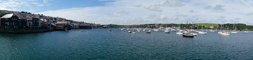
Off the South Coast of Cornwall, the sea is relatively exposed and is subject to south westerly prevailing winds from the Atlantic. There is a high level of mixing, meaning that the input from the Fal estuary is rapidly diluted. Moving closer to Falmouth, the sea is more sheltered due to geography of area.
There are more variations in physical, chemical and biological components. This is due to them being transition zones, with significant horizontal gradients. These gradients, are common in coastal and estuarine regions.
The main front type located in coastal regions are upwelling fronts, shelf break fronts, shallow sea fronts and estuarine fronts.
Frontal systems around Falmouth were investigated to determine changes in concentration moving away from shore; In terms of the Physical, Biological and Chemical stratification of water column.
Water temperature is a key parameter in determining the formation of fronts and is also important in identifying its location, along with the salinity and density of the water. CTD data is used to locate and map the front. (Fearnhead, 1975)
References
Fearnhead, P. G. (1975). On the formation of fronts by tidal mixing around the British Isles, 22(1971), 311–321.
Methodology
Between each station and at each station we used the ADCP to study the backscatter and flow of the water column. We deployed the CTD at 6 stations to look at temperature and salinity throughout the water column. By looking at the chlorophyll and temperature data produced by the CTD we chose 2, 3 or 4 depths to take water samples in the niskin bottle attached to the CTD. From these large samples we took 1 silicon sample, 1 nitrate/phosphate sample, 1 phytoplankton sample and 3 chlorophyll samples. At station 68 we took 2 zooplankton samples. 1 sample from 50m – 28m and 1 from 28m – surface. At station 71 we took 1 zooplankton sample from 35m – surface.. The zooplankton samples were taken by deploying a zooplankton net and capturing the samples at a specific depth by closing the net.
Figure 5: Tide height map from UK Hydrographic Office
02/07/2015
High tide: 06:04 and 18:23 GMT at a depth of 4.90m
Low Tide: 00:18 and 12:41 GMT at a depth of 0.70m
Weather conditions: Various throughout the day, light rain and 8/8 cloud cover until 13:00:00 following this sun and light wind
Offshore
Figure 6: group 13 with CTD
Figure 7: group 13 with Fred
Figure 8: Group 13 with CTD
© B Carter
© B Carter
© B Carter

Figure 9: CTD stations, at red sits a CTD profile was taken and at yellow sites water samples were also taken.
© B Carmichael