The content of this website contains the personal opinions of the members of group 12 only,
and is not the opinion of the University of Southampton or the National Oceanography Centre
Southampton.
Falmouth 2017 - Group 12 7TITLE


AIMS:
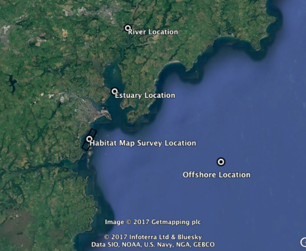
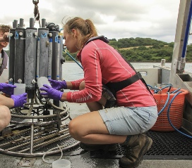
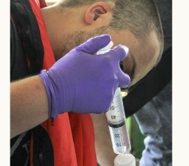
Over the course of our 12 day study in Falmouth, we aimed to gain insight into the chemistry, biology and physics of the marine environment in Falmouth. This was achieved by collecting, analysing and reviewing data collected by the team through various boat trips offshore, within the estuary and from King Harry’s pontoon. Furthermore, since data has been collected here annually for 12 years consecutively, we hoped to utilise the time series data to investigate any temporal changes by comparing our own data to that of previous years. This is especially important due to the Fal Estuary’s Special Area of Conservation status. There were five primary survey methods: an offshore survey on board MTS Terramare examining stratification in the estuary in relation to the Deep Chlorophyll Maximum and thermocline; an estuarine survey on R.V. Bill Conway in the Fal estuary to investigate estuarine mixing through the use of transects; a stationary survey at King Harry’s Pontoon over the course of 3 hours to examine how the properties changed with time and changing tide; transects and data collected by Winnie the Pooh in the most riverine part of the estuary; and a habitat survey within the estuary on Xplorer using video recording, Van Veen grabs and side scan sonar along transects to investigate the seabed habitat.
Locations that were sampled, click where you would like to visit.
MEET THE TEAM
Charles Milford
Bcs-Oceanography
Very smart
Legend in the making
HARD WORKER
GOOD HAT
Bethany Holmes
BSc-Oceanography
Good lass
Like looking at pics
Great smile
Good at listening
on boats
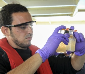
Alfonso Ramos
Mcsi-Marine Biology
Good with OXYGEN
HARD WORKER
LOVES FISHING
Haircut would
be nice
Matt Newton
Mcsi-Marine Biology
Great curls
Loves a laugh
HARD WORKER
GOOD TATS
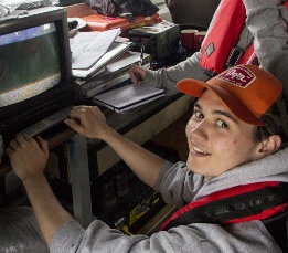
Kelly Greener
Mcsi- Oceanography
Keeps the group on track
Very Kind hearted
Loves Filter
papers
Loves a bit of banter
DAB
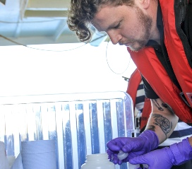
Lewis Brierley
BSc-Marine Biology
Loves a good cuppa
Seems clueless
Great at Mobile
Games
Loves sunfish
John Yanez Dobson
Mcsi-Marine Biology
Loves a good squat
Doesn’t need the hard hat
Works
all the time
Gets stuff done
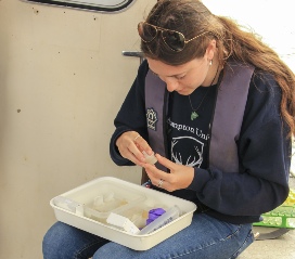
Ella Jones
Mcsi-Marine Biology
Great support
Rocks her sunglasses
Marine Bio professor
in the making
Johanne Skrefsrud
Mcsi-Marine Biology
Great ideas
Best photographer
Godd accent
Jack Boister
Mcsi-Marine Biology
Great Worker
Great Haircut
Marine Bio professor in the
making
| Background |
| Gallery |
| Results |
| Discussion |
| Results |
| Discussion |
| Results |
| Discussion |