Field Geology:
Aim: to observe the coastal rock outcrops to provide a greater understanding and to compare the geomorphology and the geological history of the bedding planes across Plymouth Sound against sidescan SONAR surveys taken in the Plymouth Sound
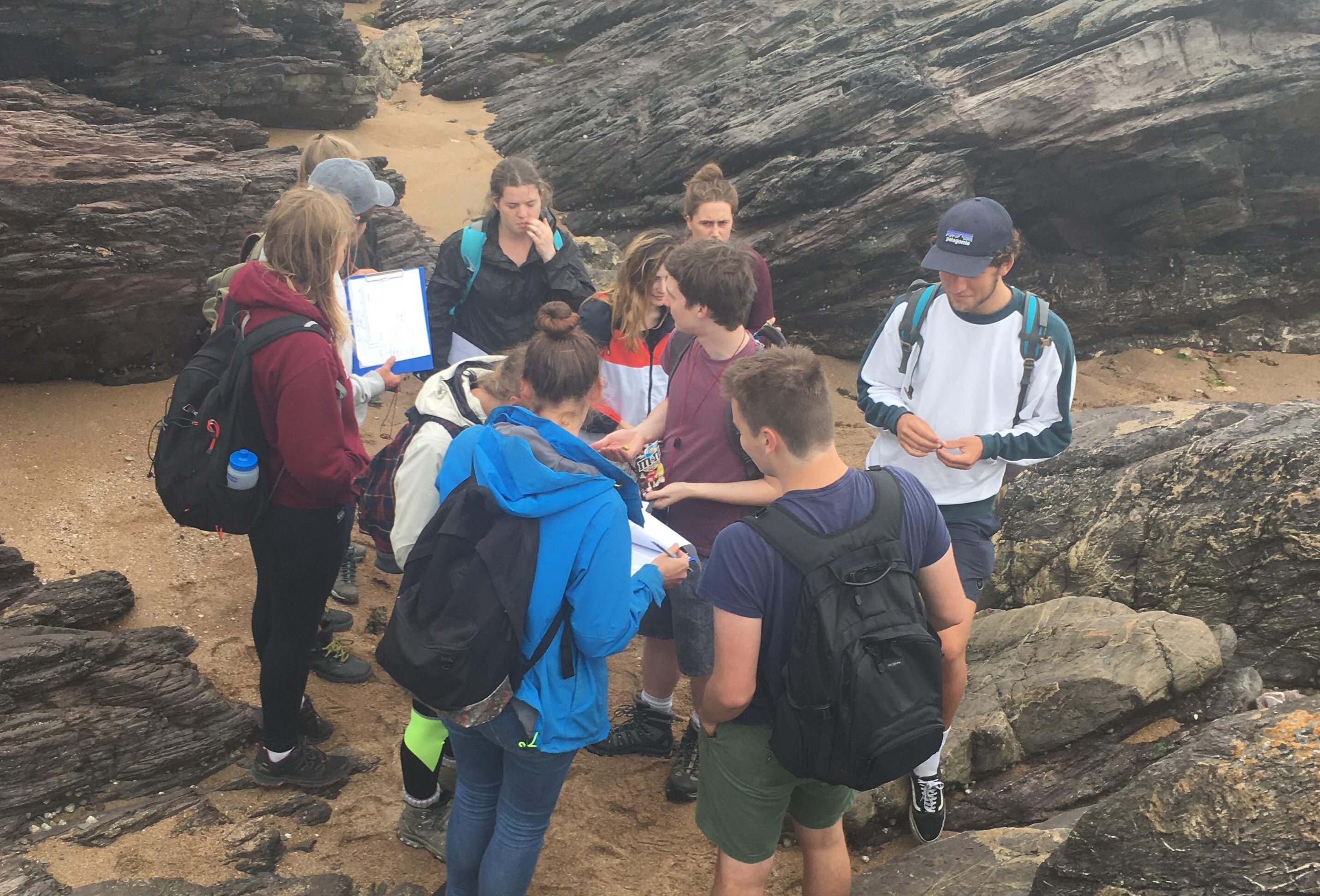
A survey was undertaken at Renney point located between Heybrook Bay and Plymouth Sound. Renney rocks formation are a medium to thin bedded alluvial deposited sandstone and mudstone of lower Devonian age that are deformed by folding and faulting. A base map alongside a compass clinometer (with built in spirit level) was used to calculate strikes and dips of several bedding planes. Strikes were measured by aligning the compass along the horizontal plane and taking a bearing using the right hand rule. The bearing of the bed varied between 225° to 234°. The dip angle was measured along the vertical plane by using the black arrow on the compass. A sediment profile of the coastal cliff face was also produced.
Features observed:
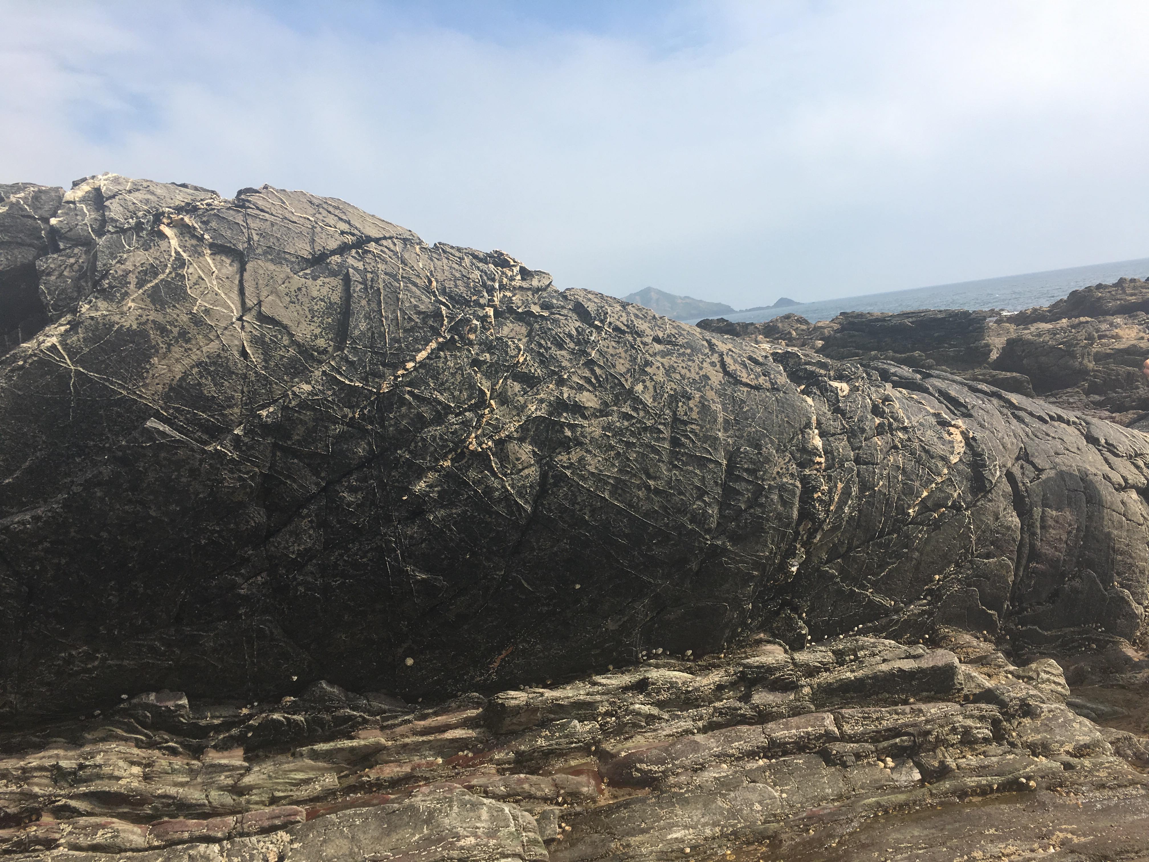
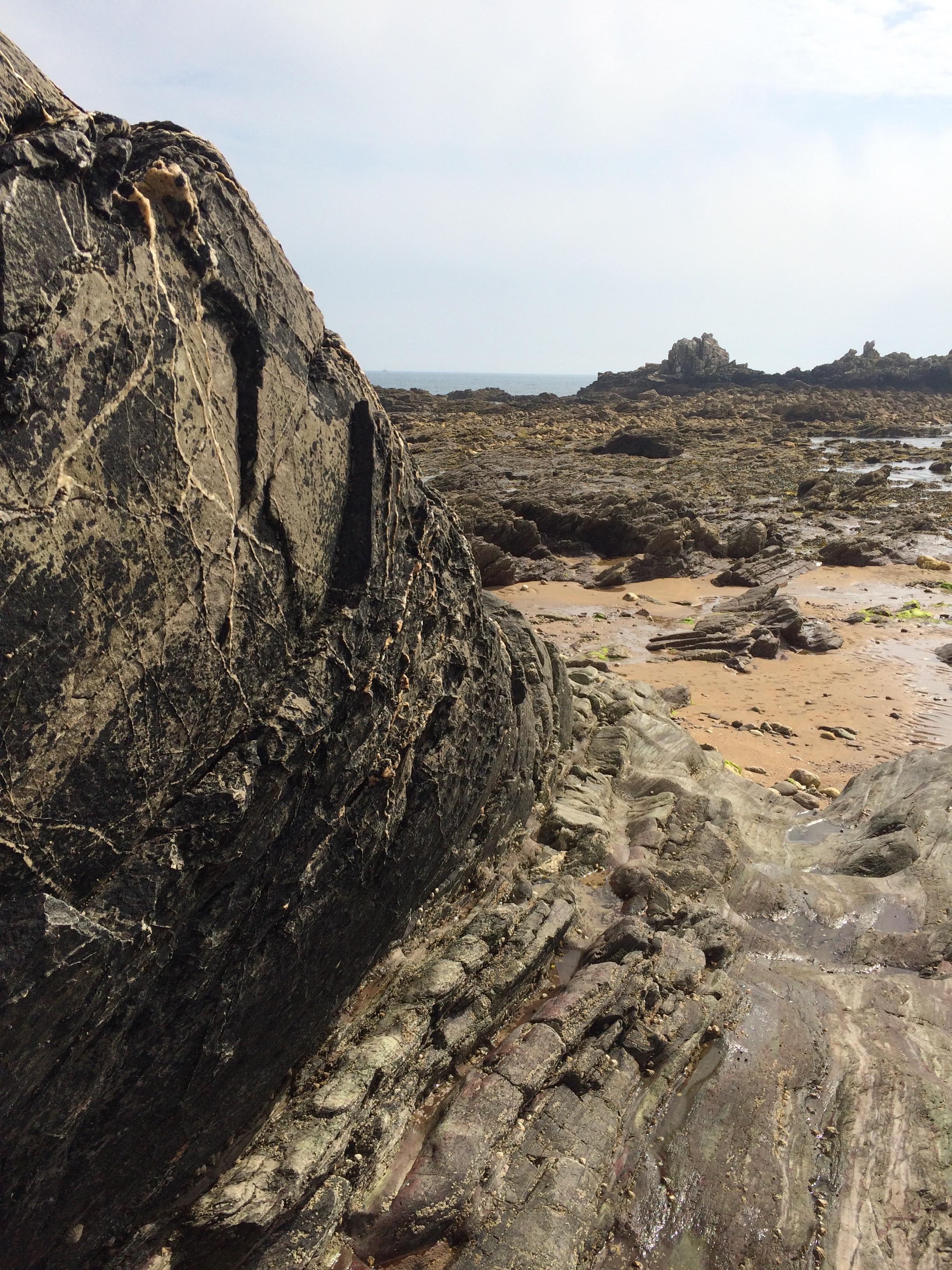
A recumbent antiform structure was observed as the bed dipped away from the central axis of the fold. A typical axial trace of the fold is 230°. This occurs during periods of compression, where beds have been overturned and dipped at the steep angles between ~65° to 70°. The hinge of the fold was also identified as well as the apparent plunge at 10° to 20°.
A right dextral strike-slip fault was recorded at a bearing of 120°, located perpendicular to the strike facing the direction of compressional forces, this fault is seen clearly as it ran through the fold, which had noticeably moved.
Other noticeable features along the top of the fold were tension cracks which appeared in the direction of the strike plane.
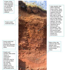
The 4m cliff face observed demonstrated 7 bedding planes composed of unconsolidated sandstone with varying grain and clast sizes and shape. It was suggested that material was alluvial deposits overlined with biogenic shell fragments. This period was associated with warmer, humid and oxygenated climate as seen by red coloured ferric sediment (Fe3+), which occurred after the last glacial period by Milankovitch cycle (every 100, 000 years). The cycles, dominated by eccentricity amalgamate to produce warm phases through time. However, as vegetation wasn’t well established the earth was left unconsolidated and prone to landslides. Therefore, the cliff face has a higher erodibility than the underlying bed rock thus exposing a wave cut platform during low tide, (with the exception of a few high points as seen by vegetation) which extends out to sea by ~250m.
.
Habitat Mapping:
|
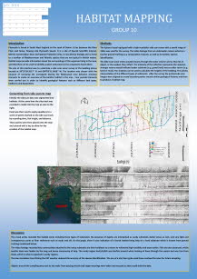
Aim: To survey a small section of the Plymouth sound using a side scan sonar and then from that data construct a habitat map.
Hypothesis: depth variation across the horizontal transect leads to habitat heterogeneity.
Habitat maps provide greater understanding of the distribution and extend of marine habitats which can then be used to establish more suitable management schemes for the specific conservation needs of each habitat, (Jncc.defra.gov.uk, n.d.).
Plymouth sound has a maximum width of 6km and a mouth which is ~5km wide, (Siddorn, Allen and Uncles, 2003). It is a known MCZ and home to a number of vulnerable habitats such as seagrass beds making it an area of both public and scientific interest. Consequently, the estuary is subject to various human activities such as; sailing, fishing, agriculture, dredging, military activity and is also located in an area with a history of mining. As a result, there are major concerns about the potential anthropogenic impacts of these activities, making the mapping of the area essential.
The survey took place on the Xplorer on the 7th July 2018 starting at 12.51 UTC. On the day there was an air temperature of 26°C, wind direction and speed of 2 knots going SSW and a cloud cover of 1/8 okta. Our transect ran from 50°19.590’N, 004°10.000’W to 50°19.510’N, 004°07.900’W and consisted of 4x 200m long lines with 100m line spacing in between them. After the transects were complete, a video was taken for a ground truthing comparison by observing the seabed in two different locations within our surveyed area.
To view the results of this please click on the poster.
.
|
References:
- Jncc.defra.gov.uk. (n.d.). Habitat Mapping. [online] Available at: http://jncc.defra.gov.uk/default.aspx?page=1586 [Accessed 9 Jul. 2018]..
- Siddorn, J., Allen, J. and Uncles, R. (2003). Heat, salt and tracer transport in the Plymouth Sound coastal region: a 3-D modelling study. Journal of the Marine Biological Association of the UK, 83(4), pp.673-682.
- Pergent.G, Monnier.B, Clabaut.P, Gascon.G, Pergent-Martini.C, Valette-Sansevin.A, (2017), ‘Innovative Methods for Optimizing Side-Scan Sonar mapping:The bloind band unveiled’, Estuarine, Coastal and Shelf Seas, 194, pp.77-83
Disclaimer: The views expressed on this website are those of 9 undergraduates and do not reflect the University of Southampton.
