

GROUP 9 FALMOUTH 2017


Site Map
HOME
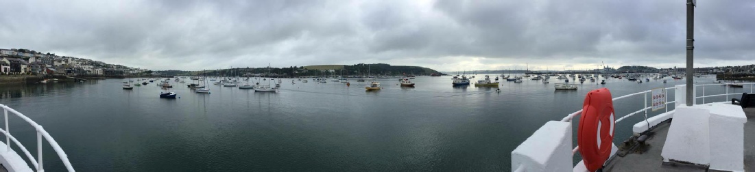
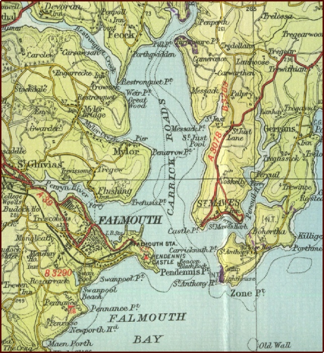
The Fal Estuary
The Fal Estuary is the third largest natural harbour in the world (Cornwall Rivers Project, 2006).
During the last ice age (Holocene period), water flooded the river valley, forming a Ria which is now known as the Fal estuary. Located on the South coast of Cornwall, 6 major tributaries and 28 minor creeks and rivers drain into the estuary, creating two subdivided sections: inner tidal tributaries and outer tidal basin, known as Carrick Roads. Carrick Roads forms the main body of water with approximately 80% of the water volume (Sherwin, 1993)
In the 19th century, the Fal was the most metal polluted estuary in the UK (Bryan and Langston, 1992). Mining for metalliferous deposits (e.g. Tin and Iron) ceased when the last active mine, Wheal Jane was abandoned in 1991. A major incident occurred a year later when 50 million litres of acidic metal laden water leaked from Wheal Jane into Carrick Roads, adversely affecting species diversity and sediment geochemistry.
Since 2005, the Fal Estuary is a Special Area of Conservation (SAC) designated under the EU Habitats Directive. Some important features and species in the Fal Estuary include mudflats, Maerl (Phymatolithon calcareum) and Eelgrass (Zostera marina).
 HABITAT MAPPING
OFFSHORE
ESTUARY
LABS
GALLERY
HABITAT MAPPING
OFFSHORE
ESTUARY
LABS
GALLERY
From left to right:
Beth Newport -
Jack Shannon -
Louise Bailey -
Craig Steven -
Jack Cowley -
Kat Ellis -
Samir Hopestone -
Charlotte Wise -
Tom Veall -
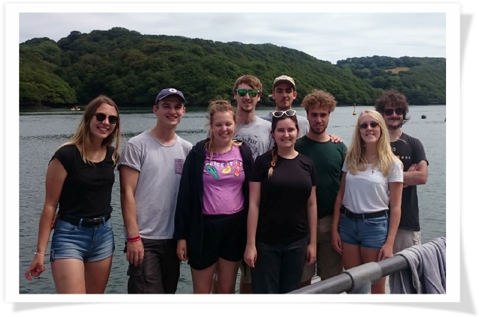
Meet Group 9