
The views expressed on this website are not those of the University of Southampton or the National Oceanography Centre Southampton

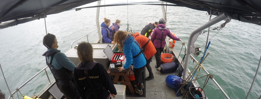
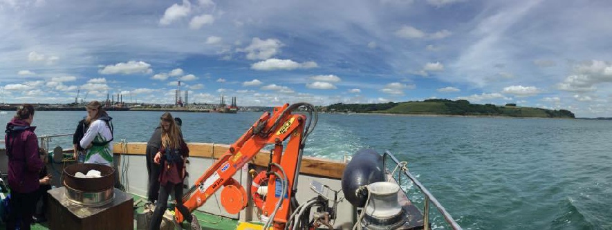
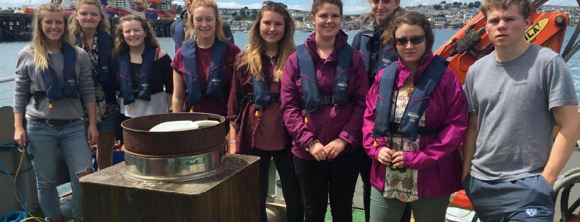
We are a group of 10 second year oceanographers and marine biologists from the University of Southampton, undertaking a practical field course in Falmouth for two weeks.
MEET THE TEAM! This website aims to summarise our initial thoughts and findings.
Over the two weeks we aimed to gain an understanding of the biology, chemistry and physics of the Falmouth marine environment by analysing, personally collected data, and also by reviewing and comparing previous data from the area to investigate any temporal changes that may be occurring. Our sampling took place across the Fal estuary, at King Harry’s pontoon, in the marine protected area of Falmouth bay, and off-shore of Falmouth.
This year is the 12th consecutive year that Falmouth waters have been sampled by University of Southampton providing a valuable time series for the area. Given the Special Area of Conservation status awarded to the area it is important to monitor any changes that may be occurring.
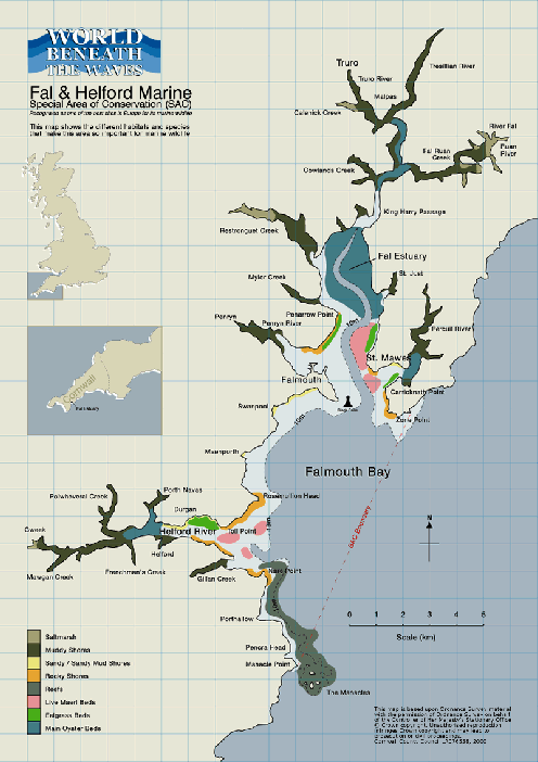
Cornwall’s largest estuary, The Fal, is located in Southwest England. Several tributaries and creeks discharge into the Fal which can reach an unusual estuarine depth of 34m(1) in the deep channel known as Carrick Roads. This unusual depth combined with The Fal’s extensive width has entitled it as the third largest natural harbour in the world. As with most estuaries on the Cornish coast The Fal estuary is a ria, a former river valley that was drowned during the melting of the glaciers of the last ice age. The unique topography of The Fal has facilitated the development of a wide range of habitats that have resulted in The Fal being deemed a Special Area of Conservation site (SACs). These habitats include mudflats, salt marshes, maerl beds and eel grass beds. Additionally eel grass beds are an important nursery habitat for a variety of fish species and are therefore classified as a Site of Special Scientific Interest (SSSI).
Figure 1.(2) Benthic habitat map of Falmouth bay, The Fal estuary can be seen extending northwards with multiple tributaries
Falmouth Group 2 -2016