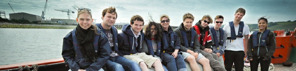
Falmouth Group 8

DISCLAIMER! This website does not necessarily reflect the views expressed by the National Oceanography Centre or any of its staff.
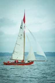
The Fal estuary is located on the south coast of Cornwall, it extends 18 km inland
from its entrance between Pendennis Point and St. Anthony Head. It is the UK’s largest
estuary and the world’s third largest natural harbour. The estuary can be divided
into two main sections: the inner tidal tributaries and the outer tidal basin. The
outer basin is known as Carrick Roads and makes up over 80% of the estuary. The Northern
section of the estuary comprises of 6 main tributaries and 28 minor creeks and rivers.
Significant sediment deposition and human modifications have caused the creeks to
fill with silt. The high rates of sedimentation experienced in the creeks are not
experienced within Carrick Roads due to low sediment input and low tidal currents.
T H E F A L E S T U A R Y
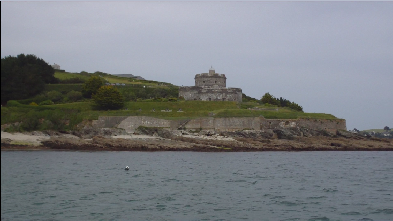
The Fal was designated a Special Area of Conservation (SAC) in 2006, and is protected
under European Union law. The area is listed under DEFRA as an Annex 1 habitat, (defined
as “habitats of community interest whose conservation requires the designation of
SAC’s”), and is strictly regulated to fall within the aims of the Good Environmental
Status (GES), which ensures that ecosystems are fully functioning and resilient to
human-
There are several Annex 1 habitats within the current SAC boundary including: Sandbanks,
gravel, sands, Zostera eel grass-
The sub-
T H E F A L A S A S P E C I A L A R E A O F C O N S I D E R A T I O N (SAC)