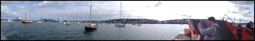
The Fal estuary is a drowned river valley situated on the South West coast of England and is the third largest natural harbour in the world. The estuary opens into the English Channel and is fed by six main rivers including the Truro River and the River Fal, as well as 28 other minor tributaries. The total area of the estuary is approximately 25 km2, and has 127 km of coastline. A deep channel running through Carrick Roads reaches depths of 34 m, allowing access to large vessels, owing to Falmouth’s success as an active port. The estuary is macrotidal towards the south, with a spring tidal range of 5.4m, however towards Truro it is considered mesotidal with a spring tidal range of 3.5.
The Fal estuary contains a wide range of habitats such as Atlantic salt meadows, tidal mudflats, sandflats, seagrass and the largest maerl beds in England. It is because of this that the Fal is a designated Special Area of Conservation (SAC), and is currently being put forward as a Reference Area for the newly proposed Marine Conservation Zones.
The estuary is heavily impacted by anthropogenic activity, particularly due to agricultural run off, fishing, and boat anchoring. The catchment area has a history of industrial china clay extraction and heavy metal mining, both of which have caused long standing impacts on the chemistry of the estuary.
The aim of this field course is to investigate the interactions between the biological, physical and chemical aspects of the water column, and relate them to the ecosystems present. Sampling is to take place across the estuary, as well as offshore. Investigations were carried out between 26/06/2013 to 05/07/2013.
From Left: Ali Bygrave (front), Hugh Stephens, Dan Plimmer, Emma Mutty (front), Hannah
Briggs, Sarina Singh-
Disclaimer: Views and opinions are not representative of the University of Southampton or the National Oceanography Centre Southampton
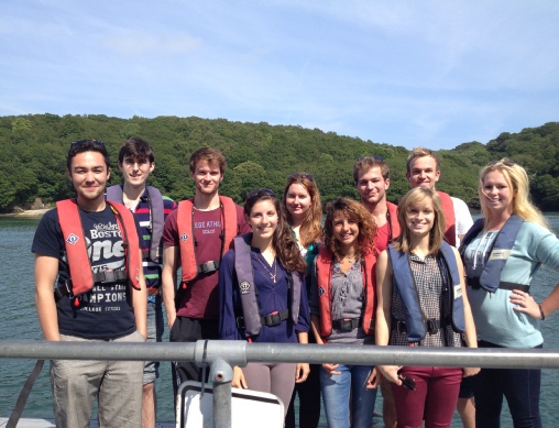
Falmouth Group 10 2013